EXPLORE BRAINARD LAKE
Waldrop North Trail
Follow a forested mountain trail from Gateway Trailhead toward Brainard Lake, with peaceful creek crossings, fresh alpine air and beautiful views of the Indian Peaks.
Waldrop North Trail
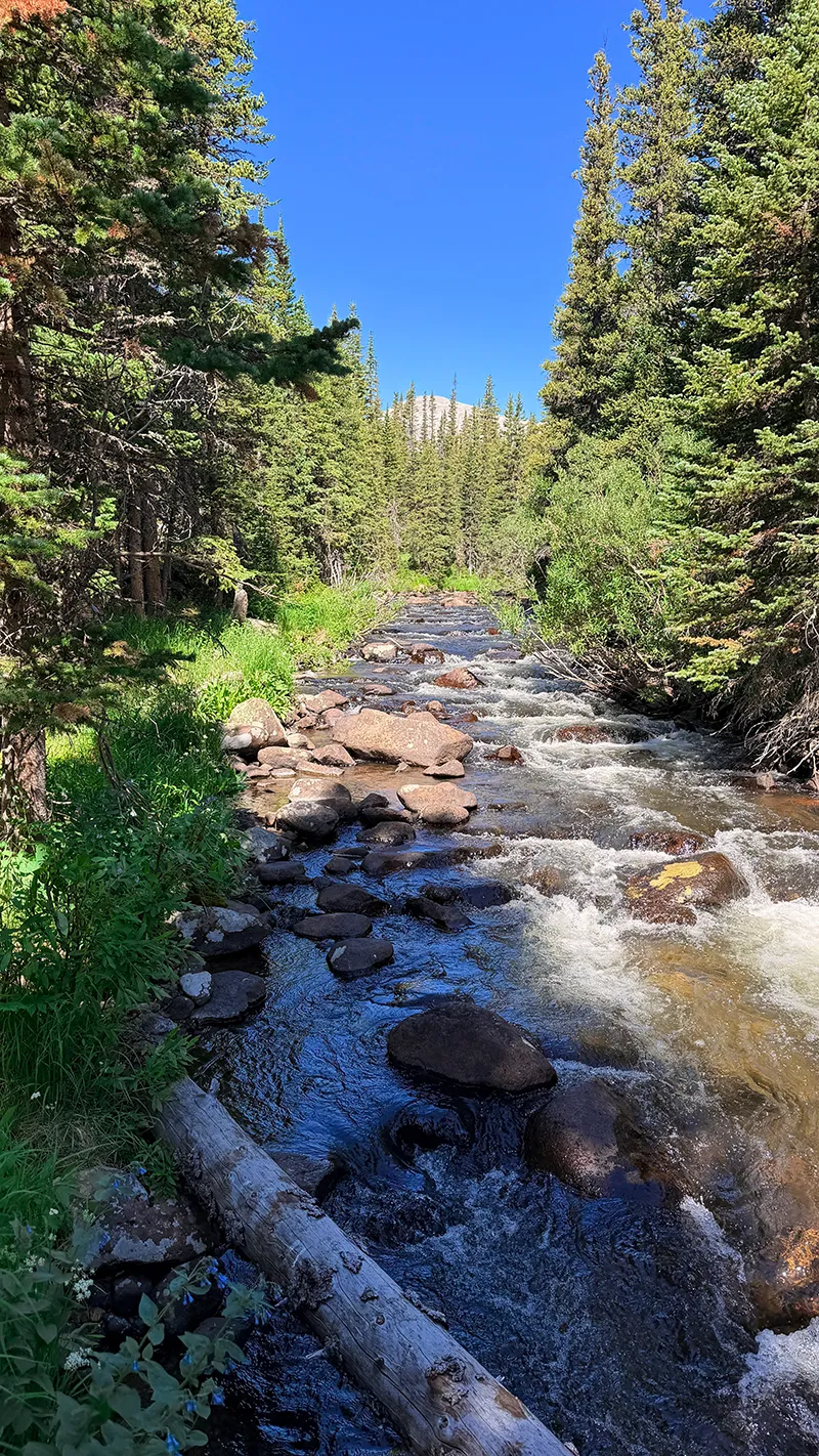
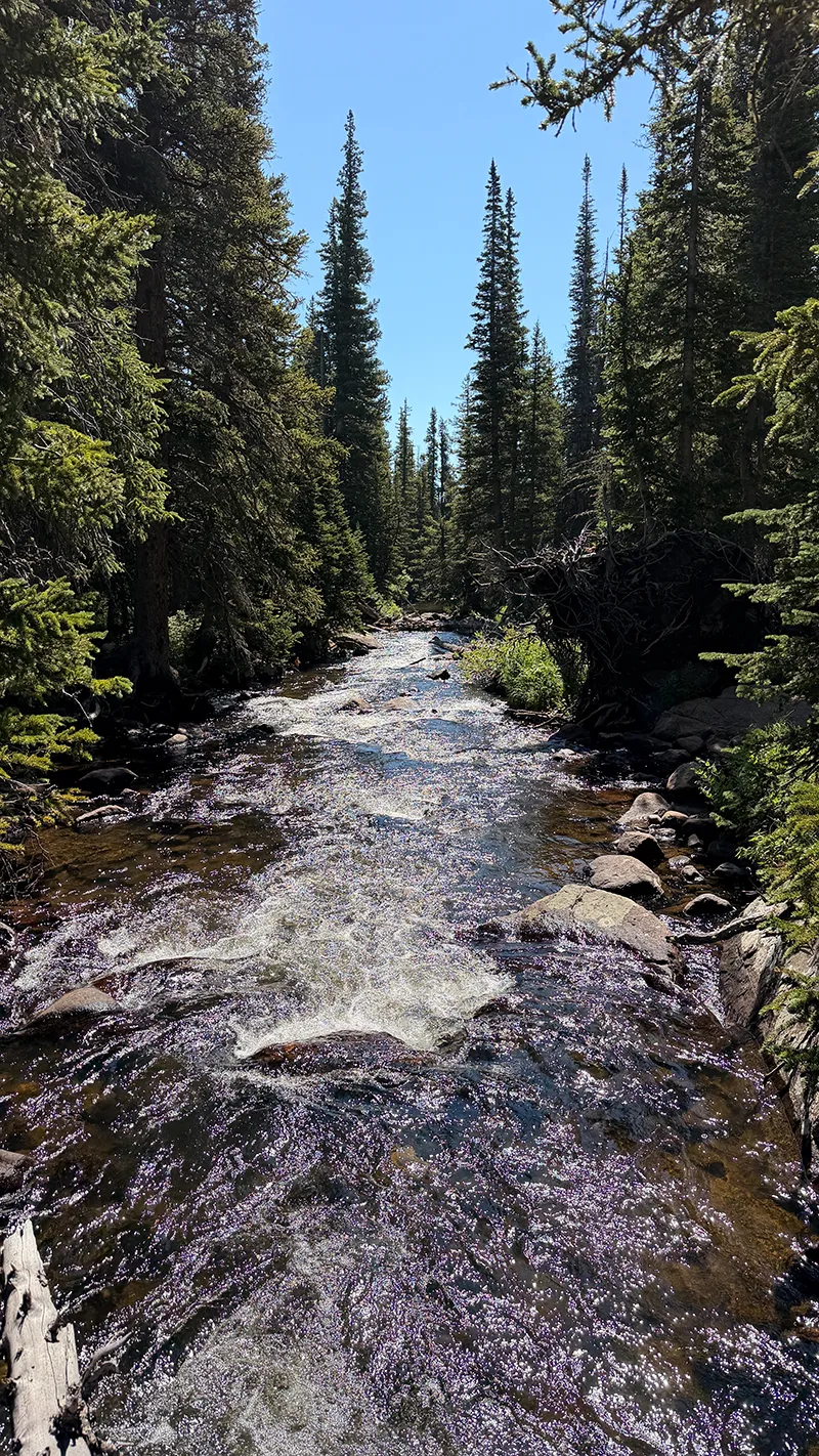
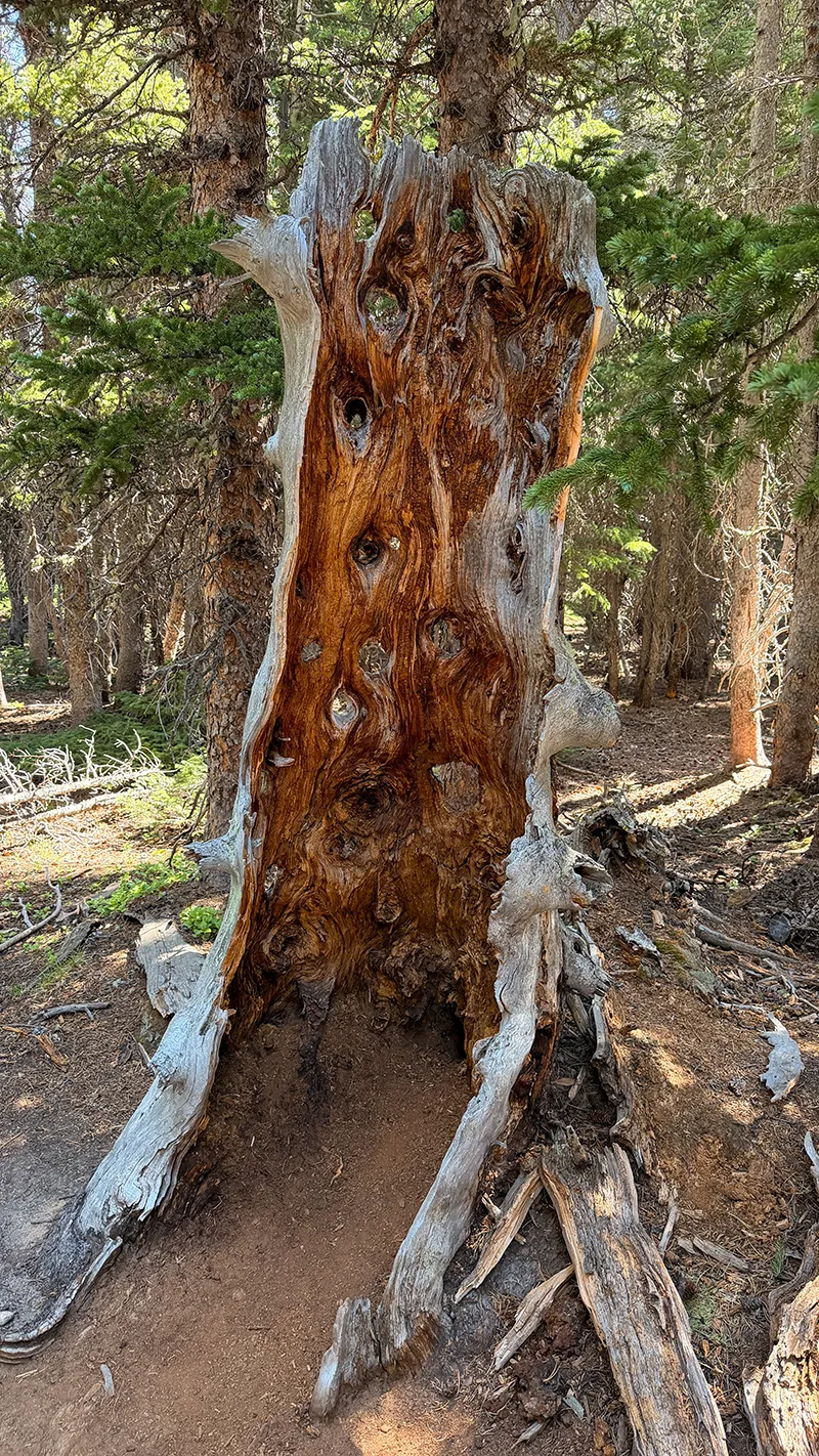
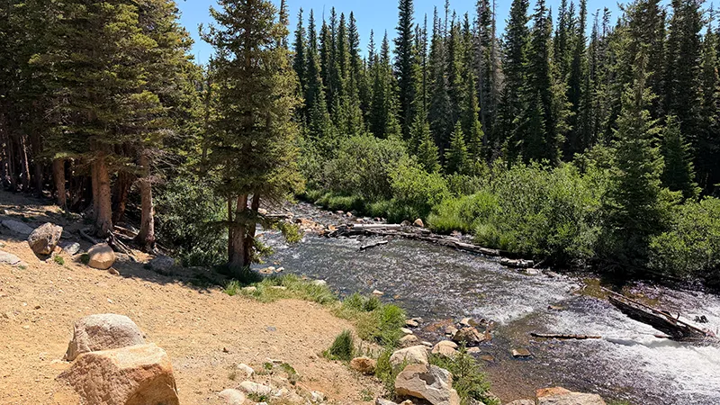
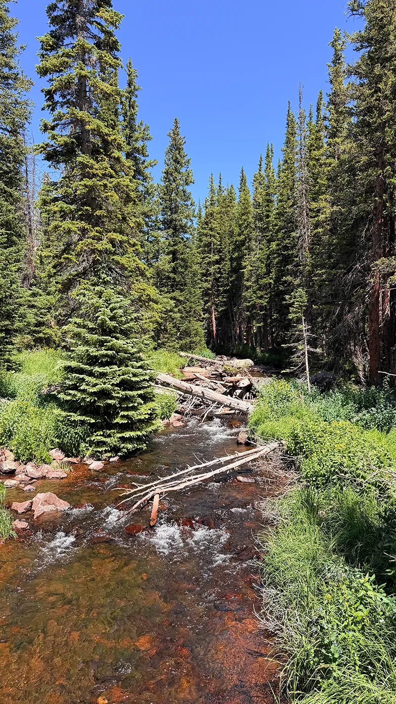
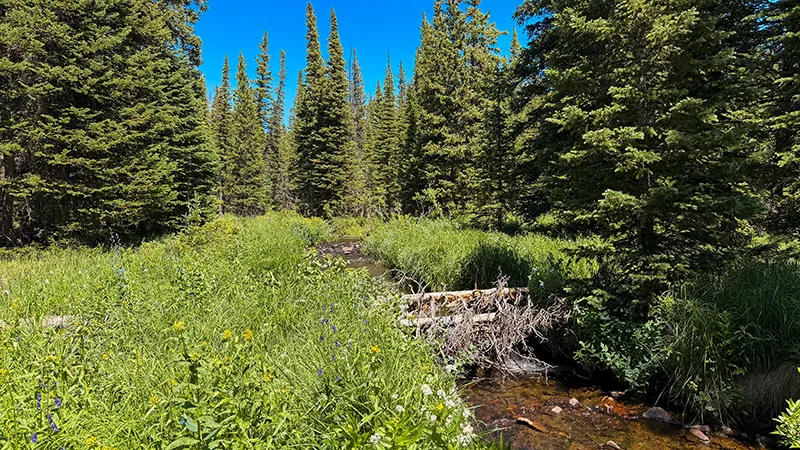
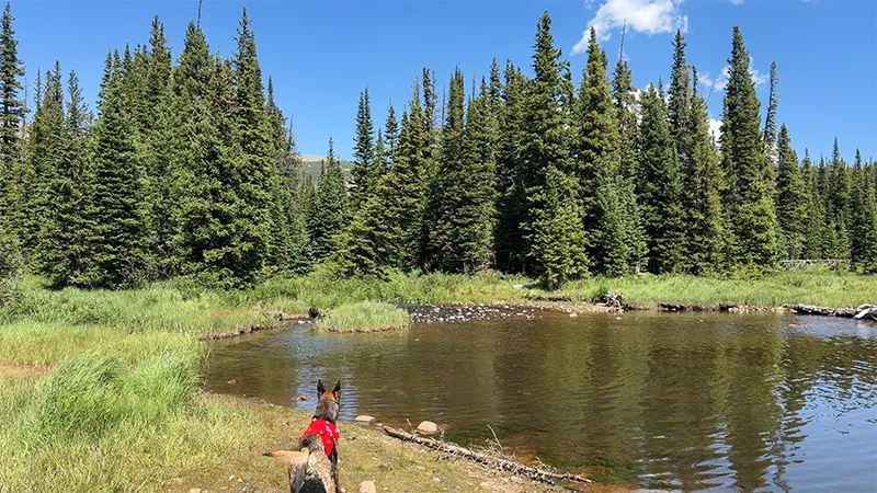
Waldrop North Trail offers a peaceful forested route from Gateway Trailhead into the Brainard Lake Recreation Area. The trail travels through dense pine forest, crosses mountain streams and provides a scenic alternative to walking along Brainard Lake Road.
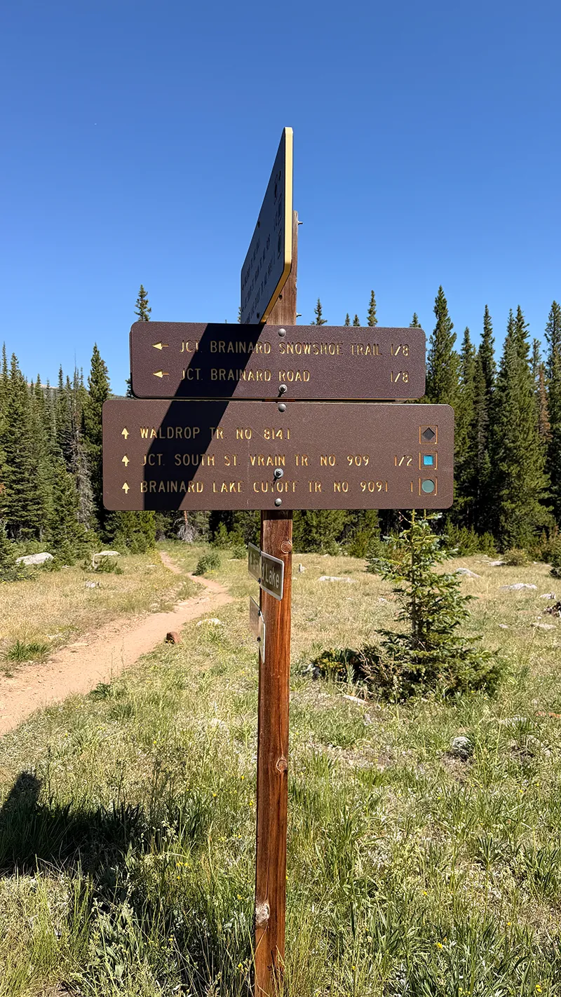
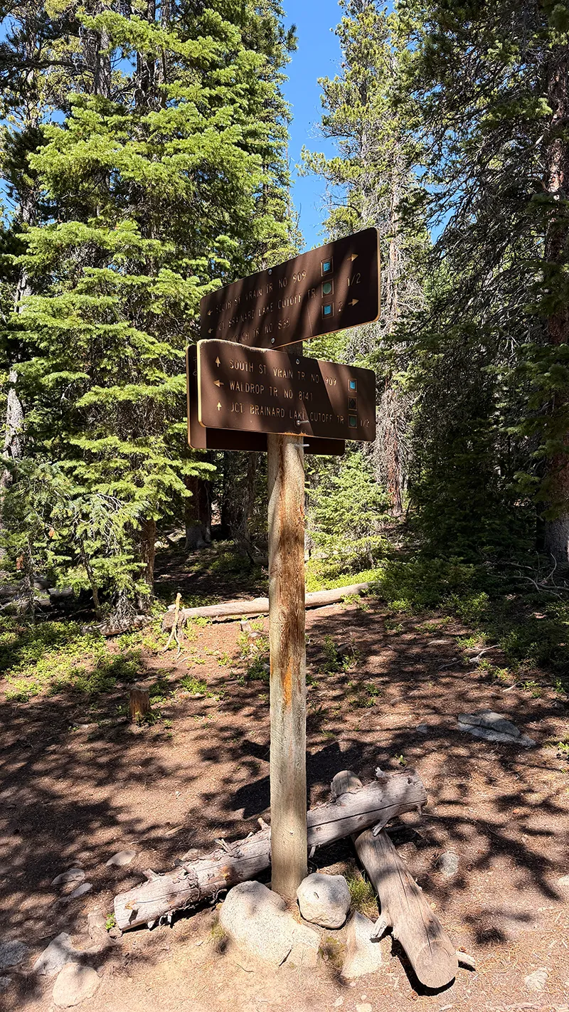
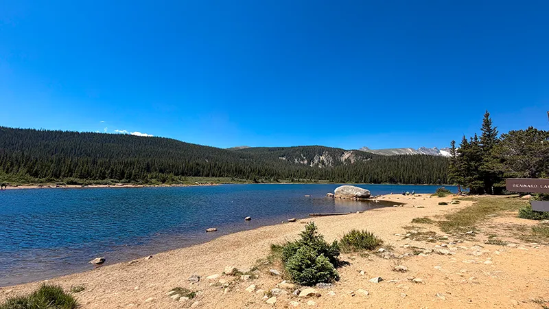
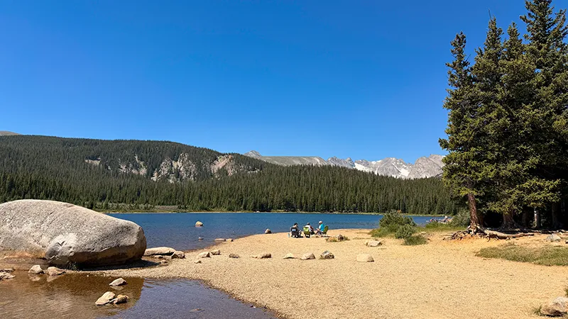
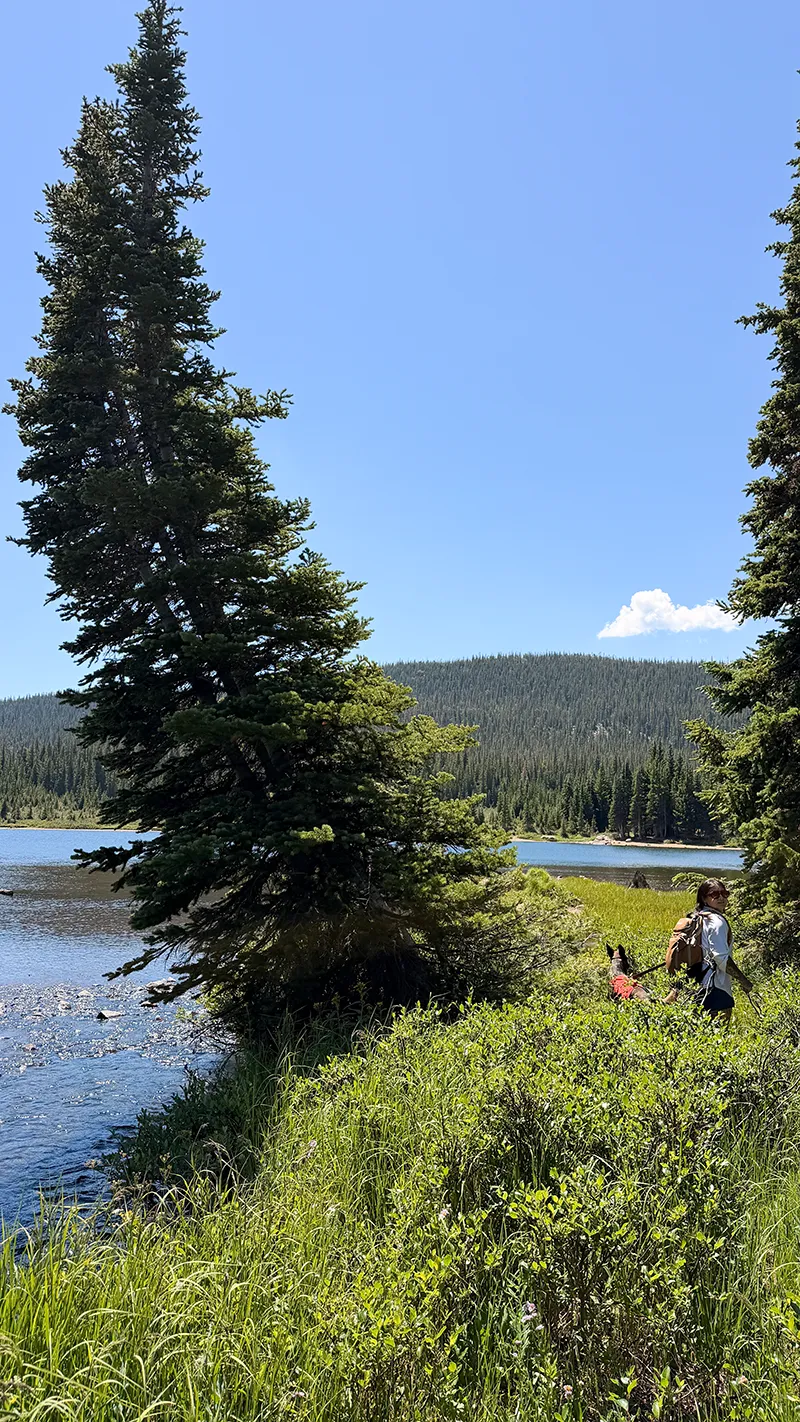
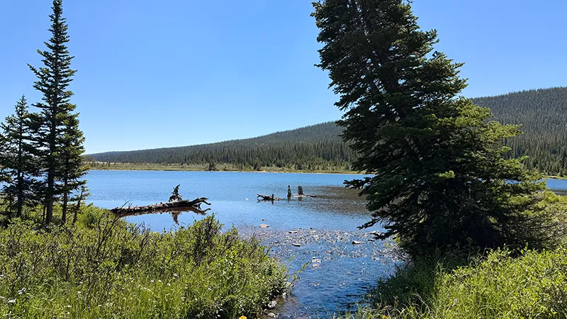
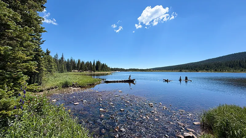
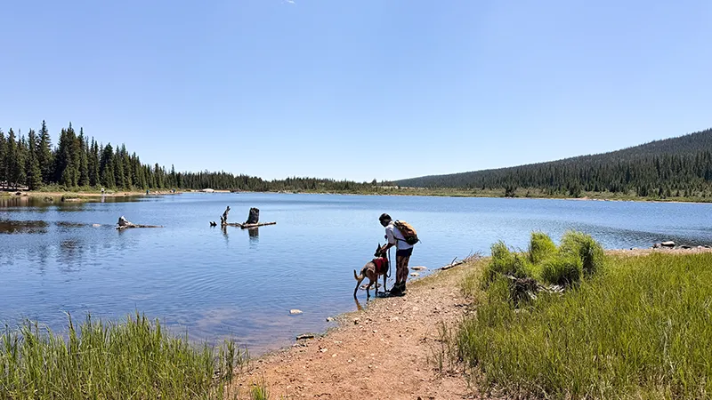
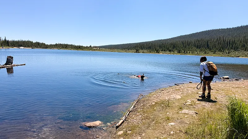
Follow Waldrop Trail until it connects with South Saint Vrain Trail. Then, turn west and continue toward Brainard Lake, where you can enjoy beautiful water views backed by the rugged Indian Peaks. After exploring the lakeshore, return to Gateway Trailhead along the same route.
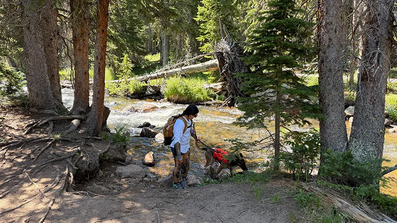
Although the elevation gain is relatively gentle, the six-mile distance, rocky terrain and elevation above 10,000 feet can make this hike more challenging. Bring plenty of water, wear sturdy shoes and prepare for rapidly changing mountain weather. Dogs must remain leashed from May 1 through November 14 and are not allowed on Waldrop Trail during the winter season.
Fred Says
“Fresh bear scat along the trail reminded me that we were hiking through real wildlife country. Stay alert, make some noise and give every wild animal plenty of room.
The weather also changed quickly during our hike. We got rain and hail for a short time, so pack a rain jacket and an extra layer—even when the sky looks clear at the trailhead.”
Why You’ll Love This Hike
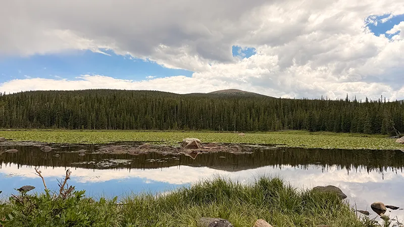
Waldrop North Trail takes you through a peaceful mountain forest before opening to beautiful views of Brainard Lake and the rugged Indian Peaks. Along the way, you’ll cross flowing streams, travel beneath tall evergreens and experience the quiet natural beauty of the Brainard Lake Recreation Area.
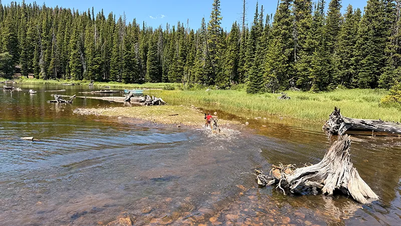
Once you reach the lake, follow the shoreline toward the inlet where fresh mountain water flows into Brainard Lake. If trail and weather conditions allow, this short extension offers another scenic place to explore before returning to Gateway Trailhead.
Trail and park information—including fees, hours, access, reservations, rules and conditions—is subject to change. Always confirm current details with the official managing agency before your visit.
Before You Go
Gateway Trailhead remains accessible year-round and does not require a timed-entry reservation. Summer day use is free. During the winter fee season, typically mid-October through mid-June, a day-use fee or valid America the Beautiful pass is required. Check current Recreation.gov or Forest Service information before leaving because seasonal dates and requirements can change.
The trail begins above 10,000 feet, and mountain weather can change quickly. Carry plenty of water, pack a rain jacket and extra layer, and bring traction devices or snowshoes when snow and ice are present. Download a trail map before arriving because cellular service is unreliable. Dogs must remain leashed from May 1 through November 14 and are not allowed on Waldrop Trail during winter.
NOTE: Trail and park information—including fees, hours, access, reservations, rules and conditions—is subject to change. Always confirm current details with the official managing agency before your visit.
Wildlife Near Waldrop North Trail
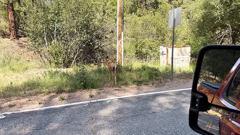
Waldrop North Trail passes through high-elevation spruce-fir forest and wet mountain habitat that supports a variety of wildlife. Moose are frequently seen around Brainard Lake and along nearby roads and trails. Black bears and mountain lions also inhabit the surrounding area, although sightings are never guaranteed.
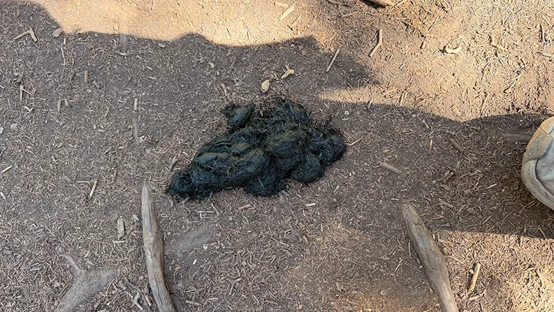
We found and photographed fresh bear scat beside the trail during our hike. Although we did not see a bear, the scat provided a clear reminder to remain alert, make your presence known and avoid surprising wildlife along forested sections of the trail.
Birdwatchers should watch for Canada jays, American three-toed woodpeckers and dusky grouse in the surrounding forest. Boreal owls have occasionally been reported at night, while white-tailed ptarmigan and brown-capped rosy-finches inhabit higher alpine terrain.
Observe wildlife from a safe distance, keep food secured and never feed or approach wild animals. Keep dogs leashed where permitted and give moose, bears and every other wild animal plenty of room. Colorado Birding Trail: Brainard Lake Recreation Area
General Information
Current Weather
Best Times to Hike
Fred’s Footprint Rating

Majestic views!

Good For
Fred’s Photo Gallery
Double-tap a photo for a slideshow with a description. Mouse over the photo for a description
BRAINARD LAKE: WALDROP NORTH TRAIL GALLERY
Fred’s Gear Picks
Your Explorin’ Journal
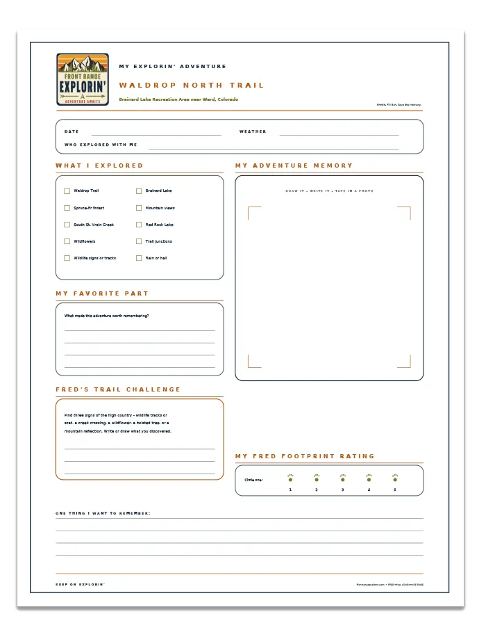
Don’t let today’s adventure become tomorrow’s forgotten memory.
Print your free Waldrop North Trail Adventure Page and record what you explored, your favorite part of the trail, what you discovered, and the memories you want to keep.
Official Trail Map
Plan your hike using Colorado Trail Explorer (COTREX), the official statewide trail map from Colorado Parks and Wildlife and Colorado DNR. View the Waldrop North Trail route, elevation profile, trail details, weather, and downloadable GPX information.
JOIN FRED’S CLUB AND GET YOUR FREE CERTIFICATE!

DON’T MISS THE NEXT ADVENTURE
Join Fred’s Fan Club, and I’ll let you know whenever Zero and I discover somewhere worth exploring and give you all of the scoop!
Get your free Fred’s Fan Club certificate when you join!