Scenic Drives
Trail Ridge Road: Rocky Mountain National Park
Take your adventure above the trees on Trail Ridge Road in Rocky Mountain National Park. Discover sweeping mountain views, alpine tundra and scenic overlooks along the route between Estes Park and Grand Lake. Check road conditions and timed-entry requirements before heading out.
 Rocky Mountain National Park, Colorado
 At A Glance





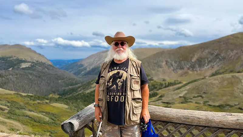
Fred Says
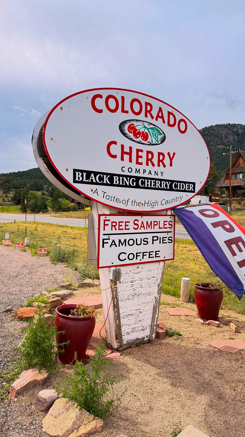
“We headed up US 36 through Lyons, stopping at the Colorado Cherry Company before making our way to Trail Ridge Road!
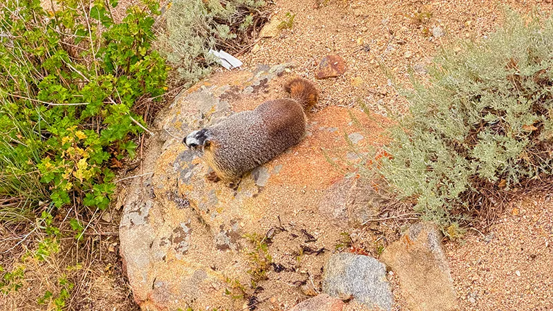
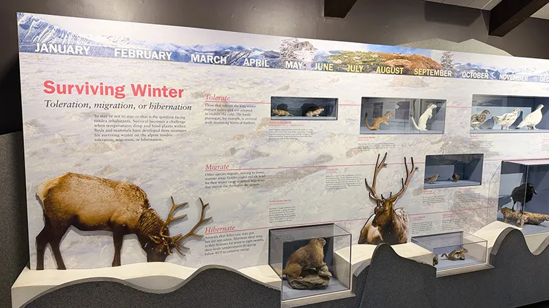
At Rainbow Curve, fearless chipmunks scampered around the rocky ledge while a marmot went about doing his marmot thing.
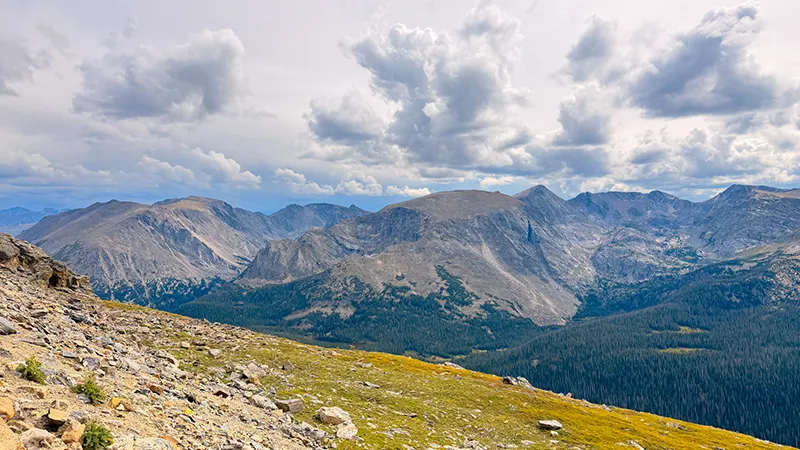
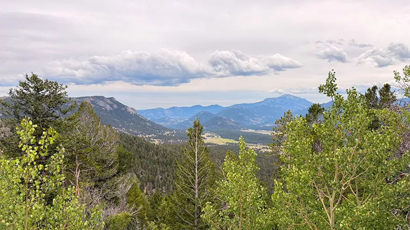
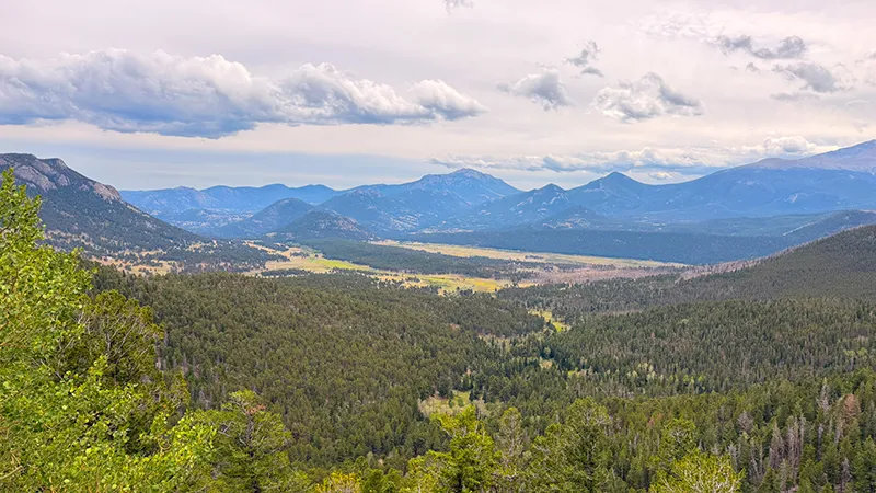
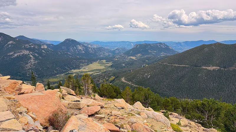
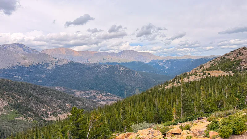
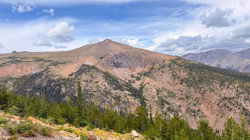
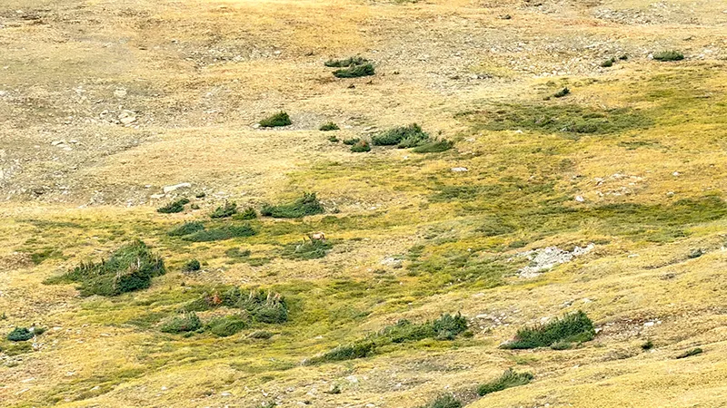
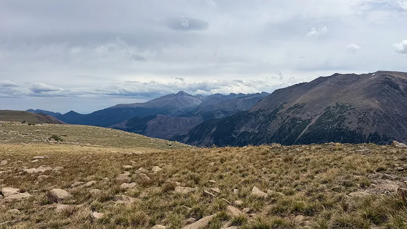
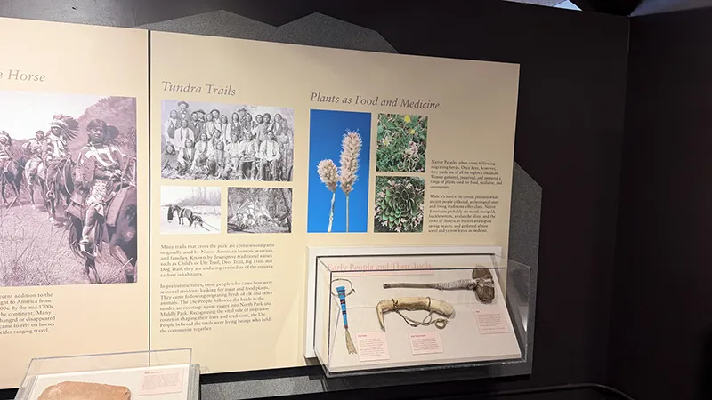
Forest Canyon Overlook gave us more than a view—a friendly ranger spent time teaching us about the park and its tundra while we watched a pika gathering flowers and a cow elk grazing in the distance.
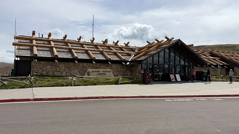
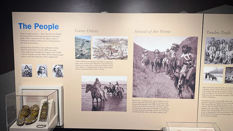
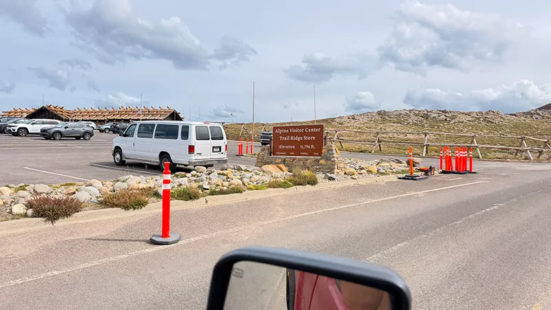
After exploring the Alpine Visitor Center and enjoying a cup of coffee, we headed back down the mountain, keeping an eye out for more wildlife.
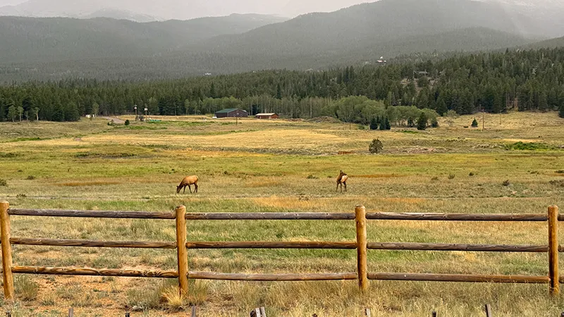
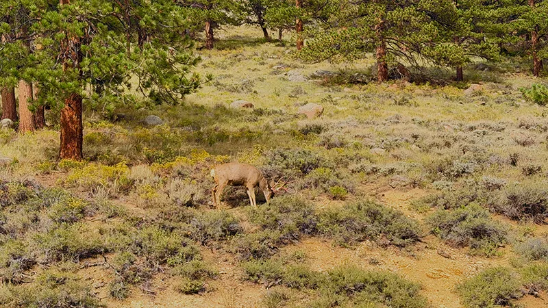
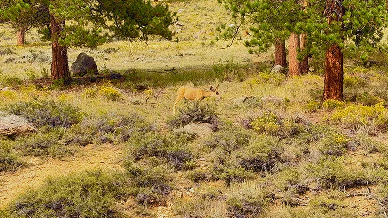
Near Beaver Meadows, mule deer grazed beside the road, including a buck with velvet still hanging from his antlers who barely interrupted his meal to look up.
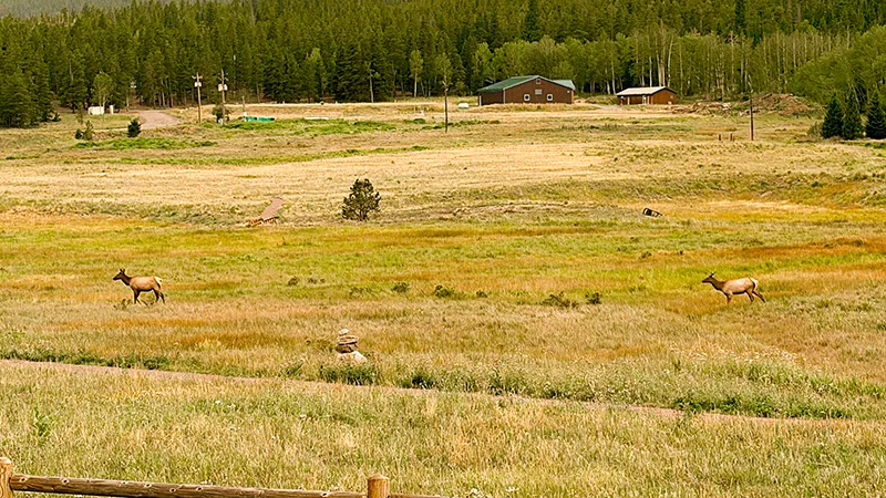
Two more cow elk in a ranch field along CO 7 gave us one last wildlife moment on our way back through Lyons!
Give yourself time for the overlooks, enjoy wildlife from a distance and let the little discoveries become part of the adventure.”

Why You’ll Love This Scenic Drive
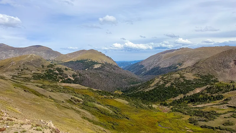
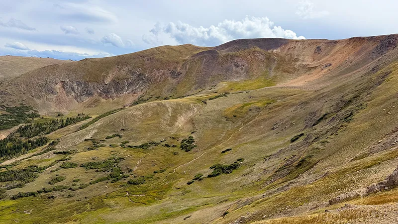
Trail Ridge Road makes the journey itself the main attraction, taking you from mountain forests into open alpine tundra with sweeping views across the Rockies. As the road climbs, tall evergreens give way to low-growing plants and expansive landscapes where distant peaks fill the horizon. That dramatic change in scenery gives the drive a sense of discovery, with new perspectives as you wind through Rocky Mountain National Park.
You don’t have to commit to a long hike to appreciate the high-country scenery. Roadside overlooks offer places to pause, take photographs and enjoy views that deserve more than a passing glance through the windshield. For those who want to stretch their legs, short walks provide a closer look at the alpine landscape and the small details that are easy to miss from the car.
The appeal goes beyond the mountain views. Watching for wildlife, noticing delicate alpine flowers and seeing how the landscape changes with elevation can turn a scenic outing into a day of discovery. Wildlife sightings are never guaranteed, but the possibility of spotting an animal in its natural surroundings adds another reason to slow down and pay attention.
For photographers, nature lovers and families who enjoy exploring together, Trail Ridge Road offers plenty to build a day around. You can linger at overlooks, include a few walks or simply enjoy the changing scenery from designated stops along the route. Give yourself time to take it in—the combination of forest, tundra and far-reaching mountain views makes this much more than a drive from one side of the park to the other.
Scenic drive information—including road access, closures, conditions, fees, business hours and visitor rules—is subject to change. Always confirm current details with the responsible road agency and individual destinations before your visit.
Stops Along the Way
Make time for a little explorin’ along the way. This outing follows US 36 through Lyons and Estes Park, climbs Trail Ridge Road to the Alpine Visitor Center, then returns through Estes Park and follows CO 7 toward Lyons. These suggested stops offer local flavor, mountain views and opportunities to explore—choose the ones that fit your interests, energy and time.
Colorado Cherry Company — Near Lyons
Start with a treat at Colorado Cherry Company in Pinewood Springs, just outside Lyons along US 36. Its Lyons location offers cherry pie, coffee, baked treats and a general store stocked with products such as cider, jams and salsas. It’s a convenient break before continuing toward Estes Park, whether you want something to enjoy now or a treat for later. Check current hours before heading out.
Colorado Cherry Company — Lyons Location
Beaver Meadows Visitor Center
Stop at Beaver Meadows Visitor Center before continuing through the park’s entrance. It’s a useful place to get oriented, ask rangers about road and trail conditions, and decide which stops best fit your day. The Rocky Mountain Conservancy Nature Store also offers an opportunity to browse before heading farther into the mountains.
Use this stop to check any questions about your route, especially if changing weather could affect your plans higher on Trail Ridge Road.
Beaver Meadows & RMNP Visitor Center Information
Deer Mountain Trailhead — Optional Hiking Stop
At Deer Ridge Junction, the Deer Mountain Trailhead gives hikers an option to add time on foot to the scenic drive. The trail offers mountain scenery and opportunities to watch for wildlife, but the full summit hike is 6.1 miles round trip, making it a substantial addition to the day.
If the overlooks and alpine stops are your priority, save the full hike for another visit or choose a shorter out-and-back walk, turning around when it suits your group. Check trail conditions and park only in designated spaces.
Deer Mountain Trail Information
Many Parks Curve Overlook
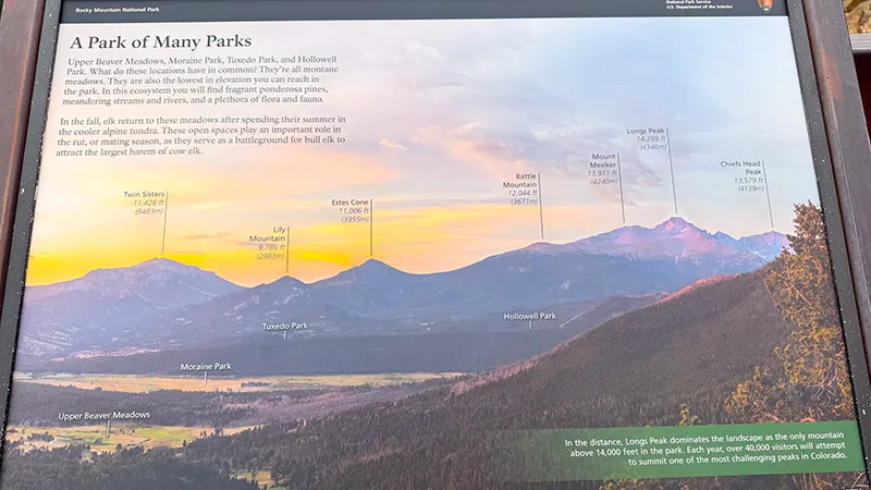
Pause at Many Parks Curve for a broad view of the meadows and mountain scenery below. The “parks” in its name refer to open, lowland meadows, including Moraine Park, Upper Beaver Meadows and Horseshoe Park. Deer Mountain and Longs Peak add to the mountain backdrop.
This overlook offers a different perspective from the tundra stops farther up the road, helping you appreciate the valleys and forested landscape before continuing the climb. Leave time to enjoy the view and take photographs from the designated viewing area.
Many Parks Curve Visitor Information
Rainbow Curve Overlook
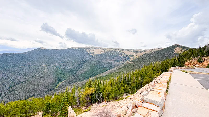
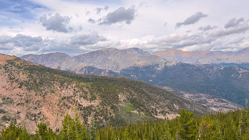
Pull into Rainbow Curve for views across Horseshoe Park, Deer Mountain, the Alluvial Fan and the Mummy Range. Take a moment to appreciate how much elevation you’ve gained and pick out the landscape’s different features before continuing higher along Trail Ridge Road.
Small animals may be active around the viewing area—we saw chipmunks and a marmot during our visit. Enjoy watching their natural behavior, keep food packed away and never feed or approach wildlife.
Rainbow Curve Visitor Information
Forest Canyon Overlook
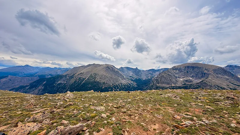
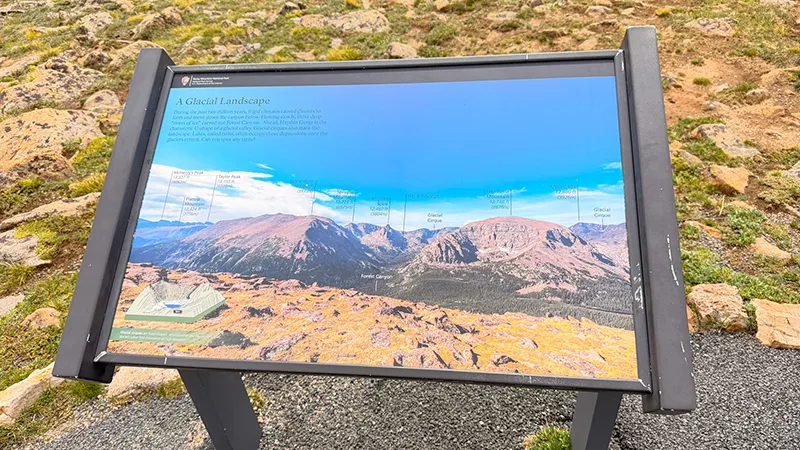
A short paved path leads from the parking area to panoramic views over Forest Canyon. At 11,716 feet, this stop offers a closer look at the alpine tundra and the dramatic landscape shaped by glaciers. Notice the low-growing plants along the path as well as the canyon and peaks beyond.
Stay on the paved trail to protect the fragile tundra, and leave flowers where they grow. If a ranger is available, take the opportunity to ask questions. Binoculars are useful for observing distant wildlife without leaving the viewing area.
Forest Canyon Overlook Information
Tundra Communities Trailhead — Rock Cut
Add a walk through the alpine landscape at the Tundra Communities Trailhead near Rock Cut. This stop invites you to look more closely at the small plants and open terrain above treeline, giving the tundra its own time rather than simply admiring it through the windshield.
Plan your walk around the weather and your group’s energy, bring an extra layer and stay on the established trail. The exposed setting can be windy and much colder than Estes Park, so give yourself the flexibility to shorten the stop when conditions call for it.
Trail Ridge Road & Tundra Walk Information
Alpine Visitor Center & Trail Ridge Store
Make the Alpine Visitor Center your turnaround destination for this outing, with time to look around and speak with park staff. The nearby Trail Ridge Store and café offer an option for refreshments before the return drive. This was our stop for a cup of coffee before heading back down the mountain.
Check visitor-center and café operating information when planning your trip, and allow time to enjoy the surroundings before getting back on the road.
RMNP Visitor Center Information | Trail Ridge Store & Café Information
Beaver Meadows — On the Return Drive
Keep enjoying the scenery as you descend toward Beaver Meadows. The lower-elevation landscape provides a different perspective after the open tundra above, and wildlife may be visible along the way. We saw several mule deer grazing beside the road here during our visit, though sightings will vary.
If you spot animals, stop only where parking is permitted and your vehicle can remain completely clear of traffic. Give wildlife room, use binoculars or a zoom lens, and let the animals carry on undisturbed.
Enjoy the Drive Back — CO 7 Through Lyons
Return through Estes Park and follow CO 7 toward Lyons to give the journey home its own scenery. Leave time for a break wherever you find a designated pullout that suits your day, rather than treating the return as a rush to the finish.
Our drive included a sighting of two cow elk in a ranch field. Treat any wildlife along this stretch as a chance observation, respect private property and fences, and continue driving if there isn’t a safe, legal place to stop.
General Information
Road access, weather conditions, entrance fees, reservation requirements and visitor facilities may change. Confirm current details with the National Park Service and each business before visiting.
Before You Go
Plan your route before heading out, and review the roads your navigation app selects. Our outing followed US 36 through Lyons and Estes Park, continued up Trail Ridge Road to the Alpine Visitor Center, and returned through Estes Park along CO 7 toward Lyons. Download your maps and save any reservation confirmations before leaving so you can access them without a cell signal.
Check Rocky Mountain National Park’s road updates before departure. Trail Ridge Road’s upper elevations close seasonally, and snow, ice or strong winds can interrupt travel during the open season. For recorded road-status updates, call 970-586-1222. Keep your plans flexible and follow posted closures.
Review the park’s timed-entry requirements and bring your entrance pass or a payment card. For this route in 2026, standard Timed Entry reservations are required for entry between 9 a.m. and 2 p.m., May 22–October 12. A park pass covers applicable entrance fees but does not replace a required reservation. Allow time for your stop in Lyons and possible entrance delays when choosing your arrival window.
Pack water, snacks, warm layers, a wind-resistant jacket, sun protection and sturdy shoes. The alpine sections can be much colder and windier than Estes Park, even when the day starts warm. Give yourself time for walks, and choose stops that suit your group’s energy and comfort with the elevation. Check visitor-center and café hours before counting on refreshments along the route.
Use designated parking areas whenever you stop for views or wildlife. Keep travel lanes clear, watch for people near overlooks and take the mountain curves slowly. At Forest Canyon Overlook and the Tundra Communities Trail, stay on established paths and leave flowers, rocks and other natural features where you find them—the tundra is fragile.
Bring binoculars or a zoom lens for wildlife watching, and let animals carry on without your attention changing their behavior. Never feed wildlife, including chipmunks that approach looking for a handout. Keep snacks secured, give animals space and respect private property when watching wildlife along the roads outside the park.
Bringing your four-legged explorer? Review RMNP’s pet rules before planning your stops. Pets are allowed along established roads, in parking areas, and in established picnic areas and campgrounds on a leash no longer than six feet. They are prohibited on all park trails, tundra and meadows, and inside visitor centers—even a paved trail is off-limits to pets. Plan accordingly, pack water and waste bags, and never leave your pet in an unsafe vehicle.
Take your trash with you, give other visitors room to enjoy the overlooks and leave each stop ready for the next explorer.
Road conditions and business schedules can change. Confirm current details before visiting.
Check pet rules at individual stops.
 Fred’s Photo Gallery
Double-tap a photo for a slideshow with a description. Mouse over the photo for a description
THE SCENIC DRIVE
RAINBOW OVERLOOK
FOREST CANYON OVERLOOK
ALPINE VISITOR CENTER
Fred’s Gear Picks


Your Explorin’ Journal
CLICK IMAGE TO ENLARGE
Don’t let today’s adventure become tomorrow’s forgotten memory.
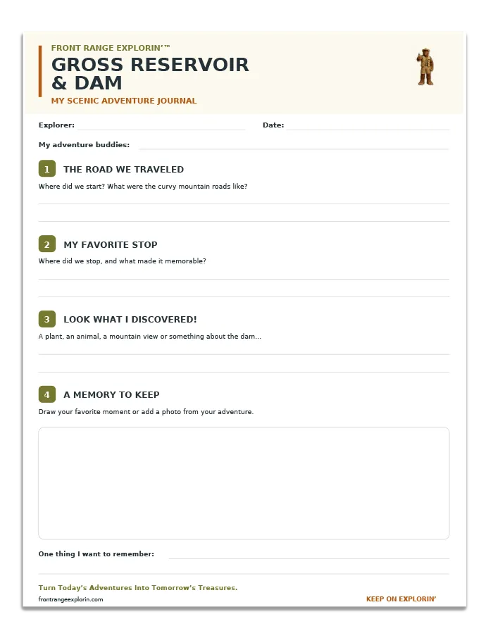
Print your free Gross Reservoir and Dam Adventure Page and record the route you traveled, your favorite stop, what you discovered and the memories you want to keep. From mountain views and open meadows to a coffee break in Gold Hill, every adventure has a story worth saving.
Turn Today’s Adventures Into Tomorrow’s Treasures.
JOIN FRED’S CLUB AND GET YOUR FREE CERTIFICATE!

DON’T MISS THE NEXT ADVENTURE
Join Fred’s Fan Club, and I’ll let you know whenever Zero and I discover somewhere worth exploring and give you all of the scoop!
Get your free Fred’s Fan Club certificate when you join!