
Scenic Drives
Pikes Peak Highway Scenic Drive: Colorado Springs to the Summit
From Colorado Springs, head west to Cascade and the Pikes Peak Highway, then climb 19 miles to the 14,115-foot summit. This unforgettable high-elevation drive crosses four Colorado life zones with sweeping mountain views and a stop at the Pikes Peak Summit Visitor Center.
 Pikes Peak Highway, Cascade, Colorado
 4.8 Fred Footprints
 At A Glance






Fred Says
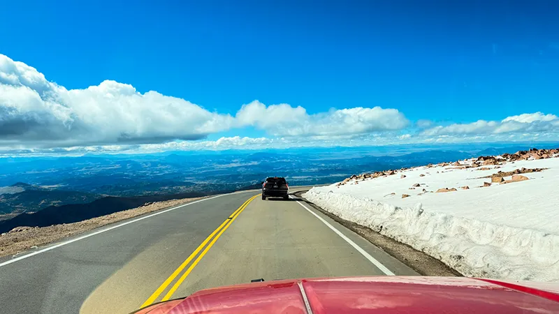
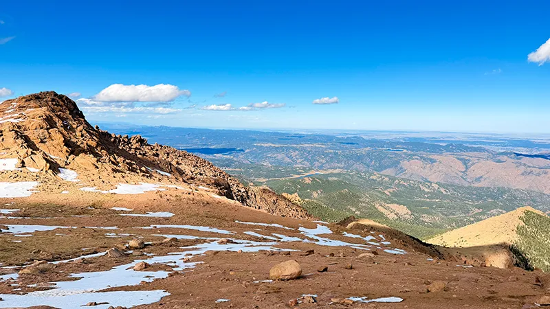
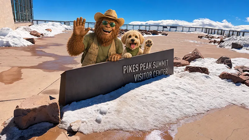
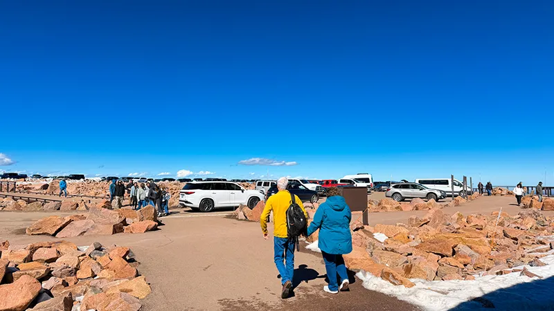
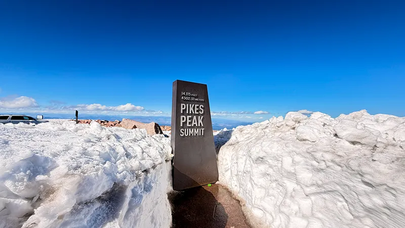
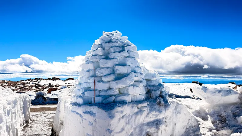
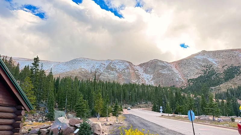
“Pikes Peak made us work for it, but the views along the drive and at the Summit were breathtaking. Snow at the higher elevations and the Pikes Peak Summit Visitor Center made the whole experience even more exciting. Between the cold temperatures and whipping wind, though, it felt much colder at the Summit than it did below.
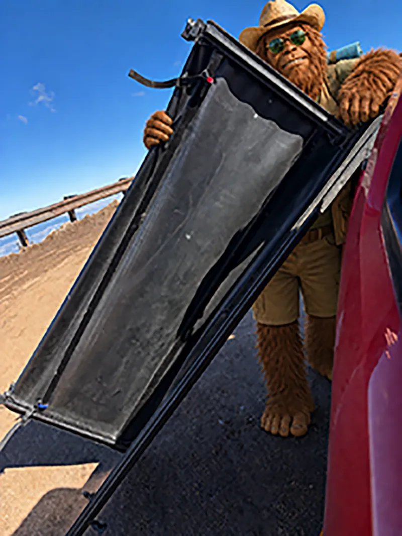
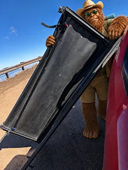 Things got adventurous as we started down the mountain. At the first switchback, a strong wind gust caught my truck’s tonneau cover and blew it loose. It was hanging by one strap, and the wind made it difficult just to open my door and deal with it safely.
I finally got the cover into the truck bed and secured it for the ride down. My usual ratchet straps, bungee cords and other supplies were out of the truck after doing some work, so Zero’s leash became the tie-down that kept the cover from flying out again.
The only thing keeping this adventure from a perfect 5 Fred Footprints was the restroom system at the Visitor Center. During our visit, there was a strong odor, and an employee told us it was an ongoing issue. It did not take away from the incredible scenery, but it was noticeable.
Bring warm clothes, secure anything loose on or in your vehicle before heading up, and make sure your windshield, mirrors and overall visibility are ready for mountain conditions. Carry water and food unless you plan to use the concession area. If you are not used to higher elevations, take your time, allow for breaks and consider bringing a small can of oxygen for comfort. Keep explorin’!”

Why You’ll Love This Scenic Drive
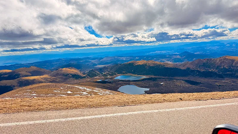
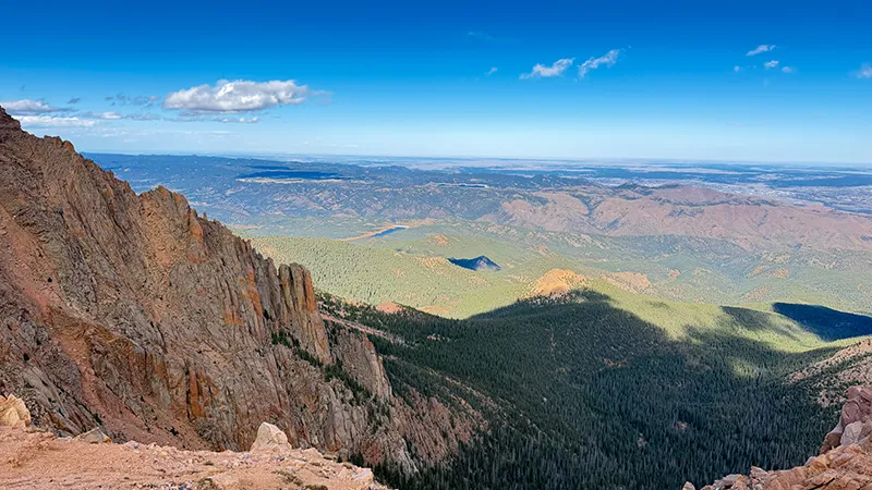
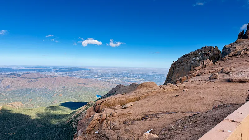
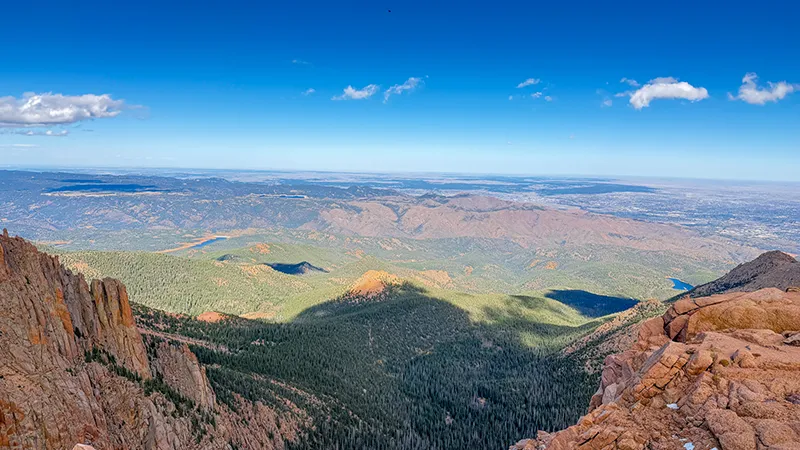
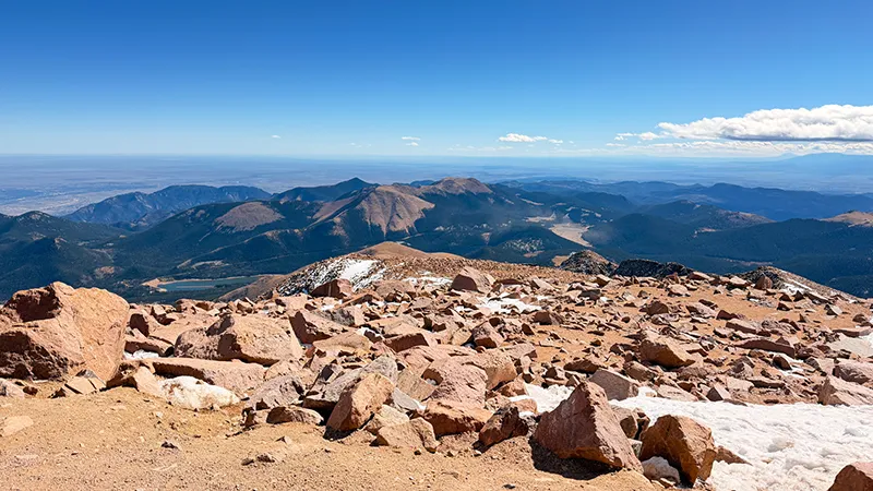
The Pikes Peak Highway is more than a route to a mountaintop—it is a full Colorado driving adventure. The 19-mile climb carries you from the lower slopes near Cascade to the 14,115-foot Summit, with wide-open Front Range views that keep getting bigger as you climb.
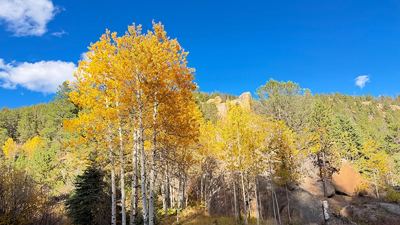
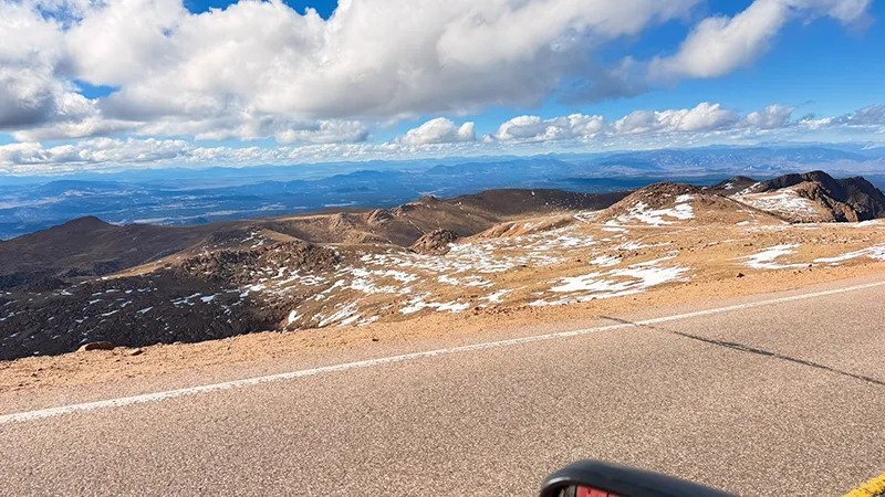
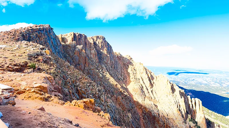
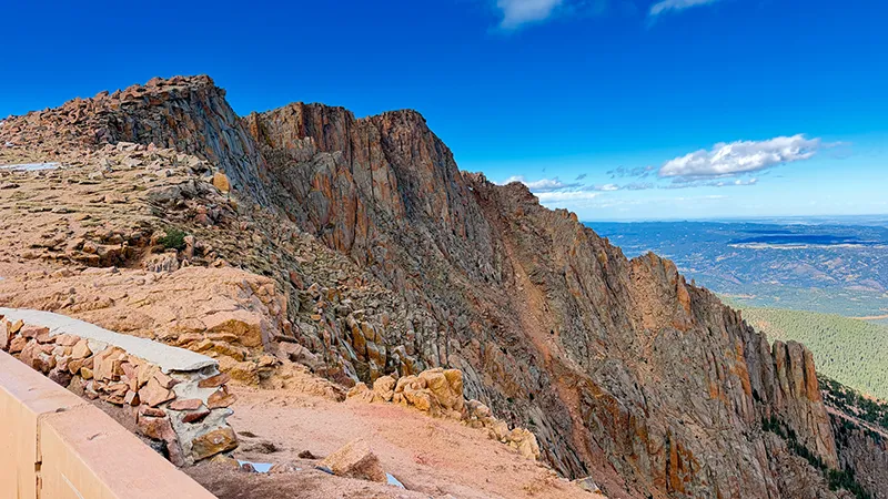
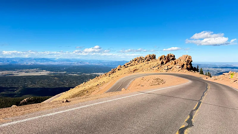
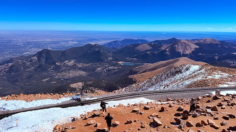
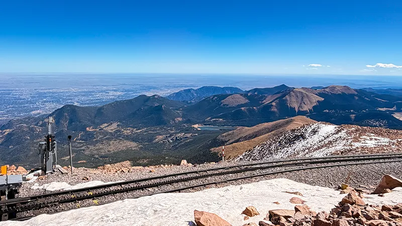
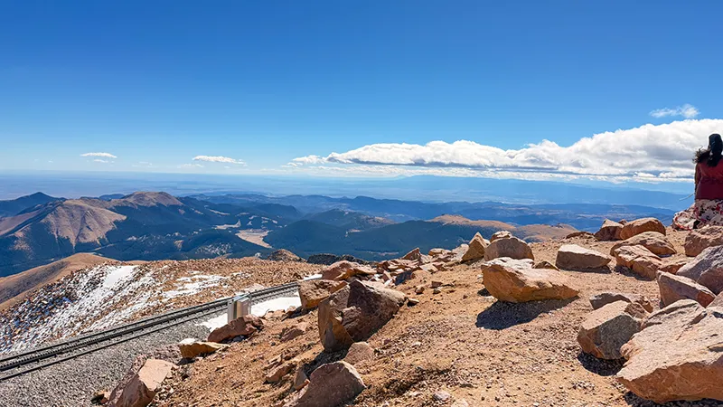
Part of what makes this drive so memorable is watching the landscape change around you. Forested slopes, rocky terrain and high-alpine scenery unfold across four Colorado life zones. On our visit, snow at the higher elevations added even more beauty and excitement to the experience.
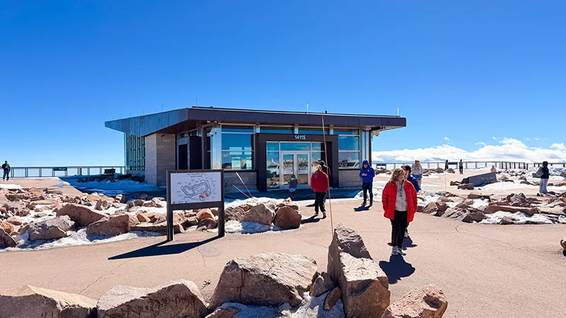
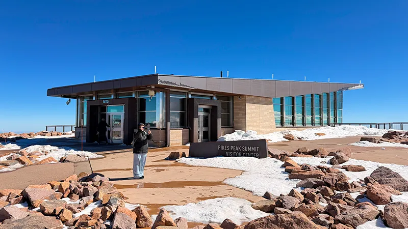
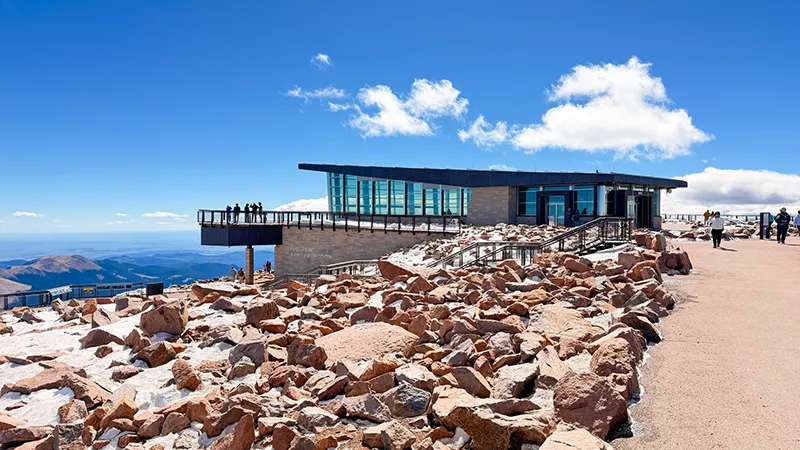
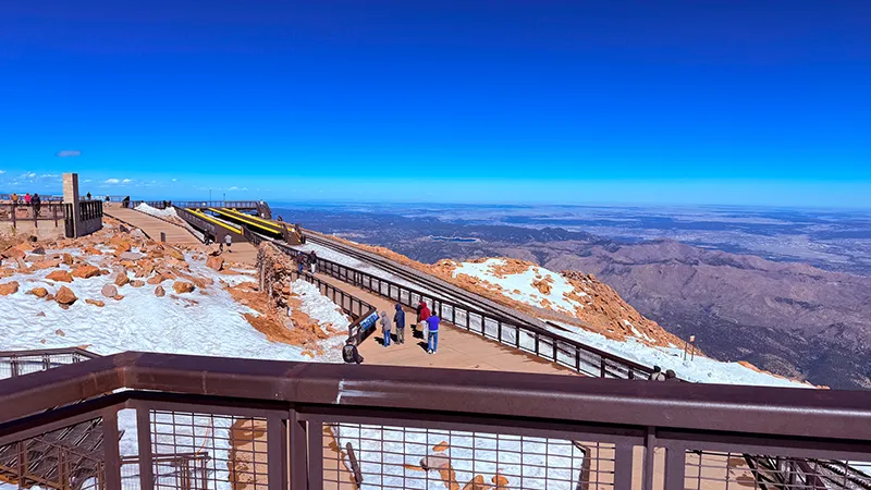
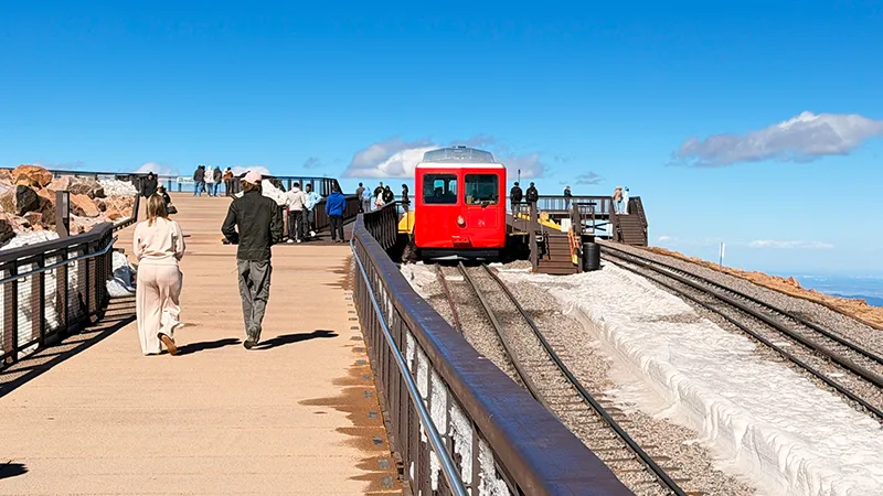
The Pikes Peak Summit Visitor Center gives you a chance to step inside, take a break, grab something to eat and appreciate just how high you have climbed. Between the mountain views, colder temperatures and strong wind, the Summit feels like a true destination—not simply the turnaround point for the drive back down.
This is the kind of scenic drive that feels like an adventure from start to finish. The switchbacks, elevation and quickly changing mountain conditions keep the experience interesting, while the views make every mile worthwhile. Take your time, stay prepared and enjoy one of Colorado’s most unforgettable mountain drives.
Scenic drive information—including road access, closures, conditions, fees, business hours and visitor rules—is subject to change. Always confirm current details with the responsible road agency and individual destinations before your visit.
Fun Facts and History
The View That Inspired “America the Beautiful”
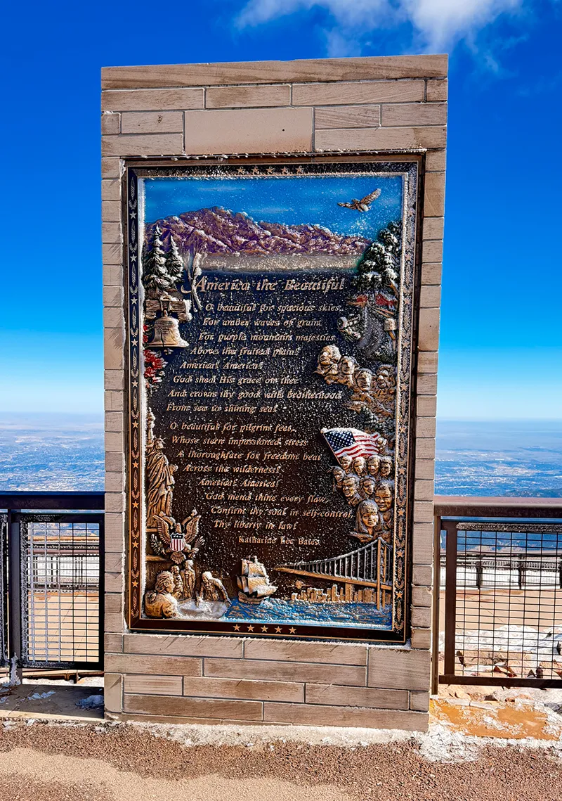
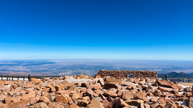
In 1893, Wellesley professor and poet Katharine Lee Bates came to Colorado Springs to teach at the Colorado Summer School. At the end of her stay, she joined fellow educators for a trip to the top of Pikes Peak by prairie wagon and mule. From the summit, the vast view of mountains, plains and farmland inspired the opening lines of the poem that would become “America the Beautiful.”
Bates later described the view as showing “all the wonder of America” in a sea-like expanse. Back at the Antlers Hotel in downtown Colorado Springs—where we stayed five years ago—she wrote the first draft of her poem. It was published in 1895, and its words were later paired with Samuel A. Ward’s “Materna,” creating the beloved song Americans know today.
CLICK IMAGE FOR LARGER VIEW

Home of the Race to the Clouds
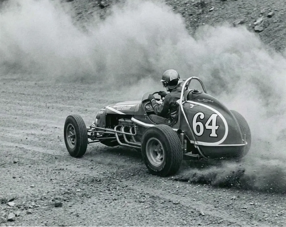
Pikes Peak Highway is also home to the annual Broadmoor Pikes Peak International Hill Climb—better known as the “Race to the Clouds.” Founded in 1916, this invitational motorsports event sends competitors up the same mountain road, climbing 4,720 feet over 12.42 miles and 156 turns to the 14,115-foot summit.
On most days, the highway is a memorable scenic drive filled with overlooks, alpine scenery and stops along the way. During race week, it becomes an international motorsports stage—another reason this road has earned such an important place in Colorado history. If you plan to visit near the event, check official Pikes Peak Highway and race updates before you go.
CLICK IMAGE FOR LARGER VIEW
First Race
Turns
Miles: 12.42
FT: Finish Line
Stops Along the Way
North Pole – Santa’s Workshop
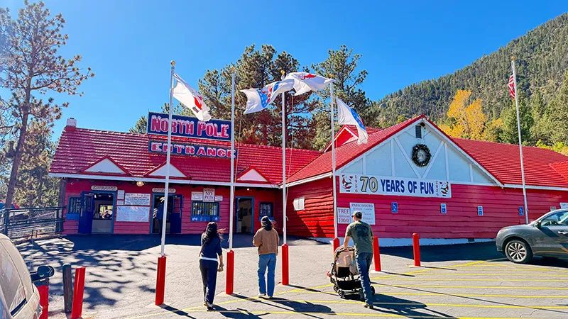
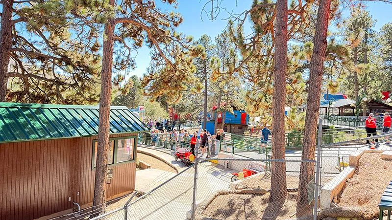
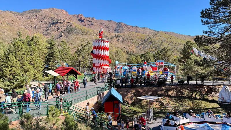
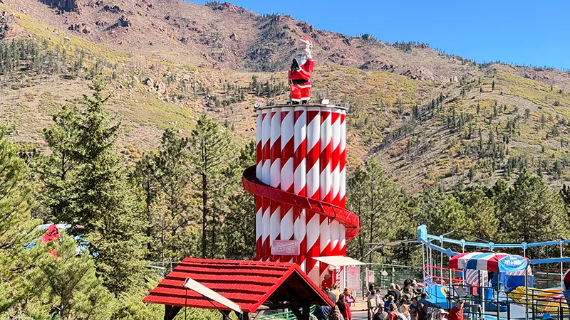
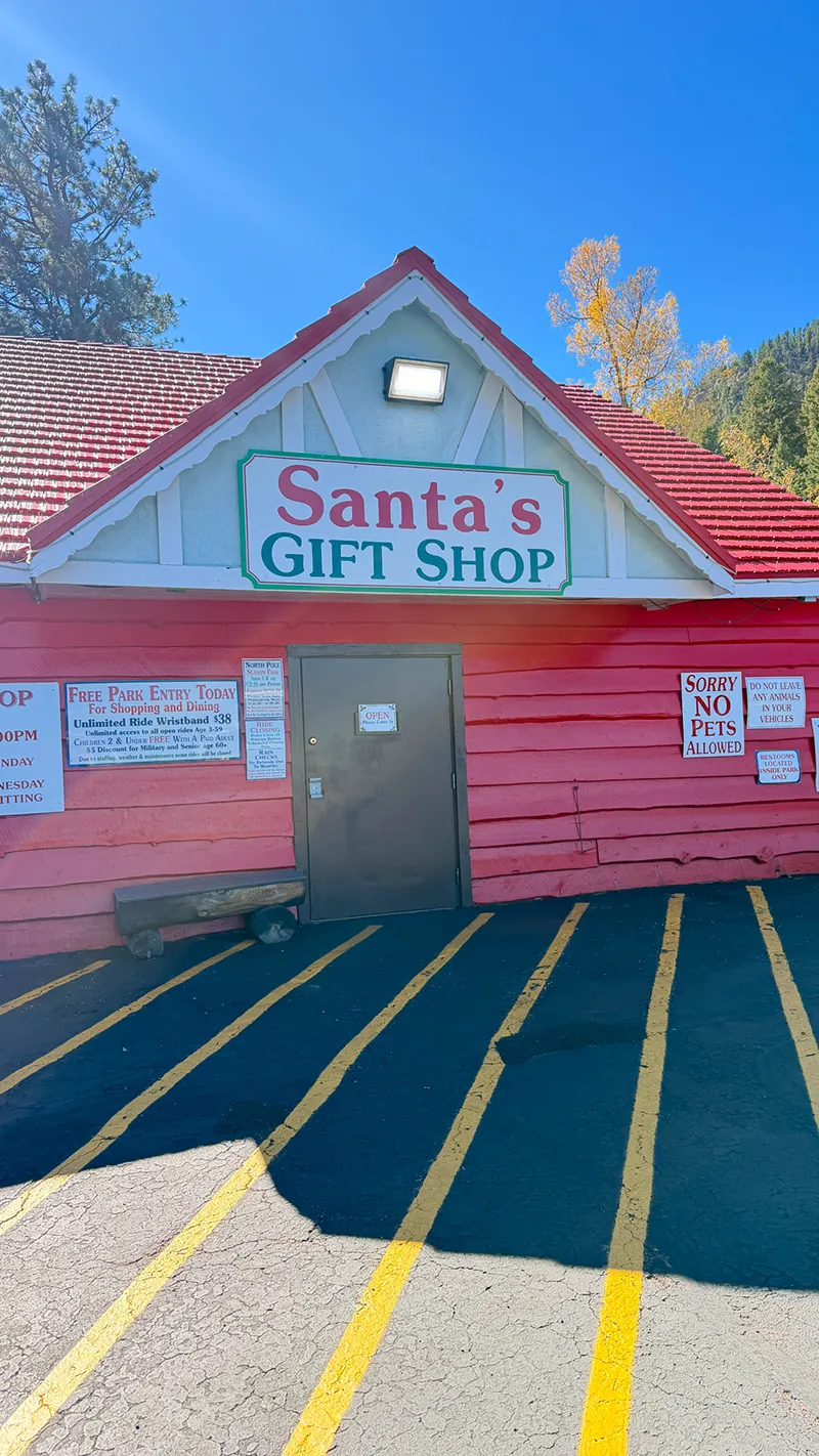
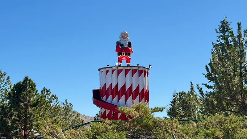
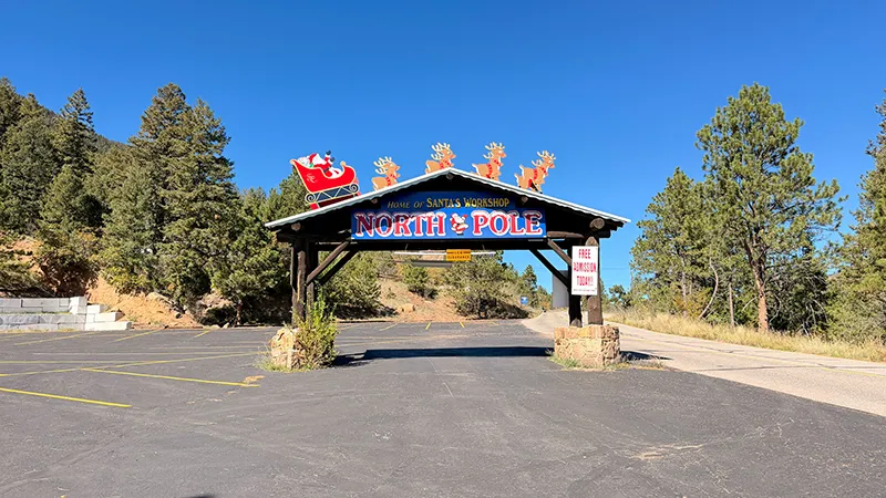
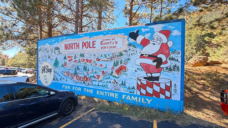
We began our Pikes Peak day with a stop at North Pole – Santa’s Workshop in Cascade. Nestled at the foot of Pikes Peak, this Christmas-themed attraction is a fun place to stretch your legs, enjoy some Colorado roadside character and add a little extra magic before heading up the mountain.
Crystal Reservoir
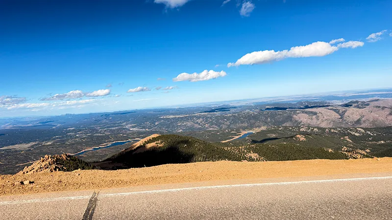
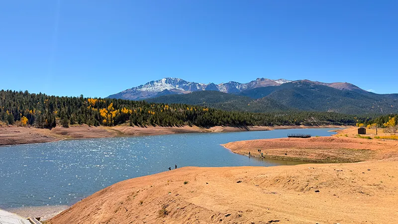
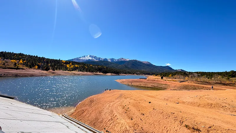
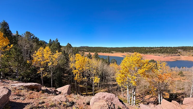
Around Mile 6 on the Pikes Peak Highway, Crystal Reservoir is an early scenic pause on the climb. The mountain setting gives you a chance to take in the views, get oriented and appreciate how quickly the landscape begins changing as you gain elevation. Check current access and road conditions before planning time here.
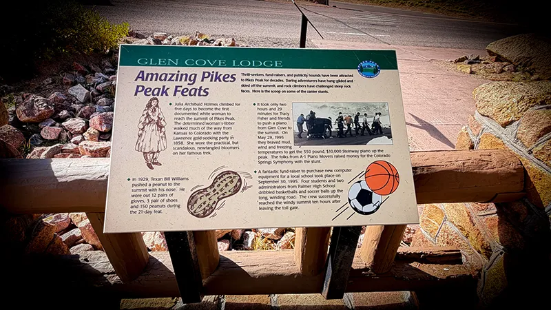
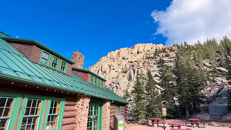
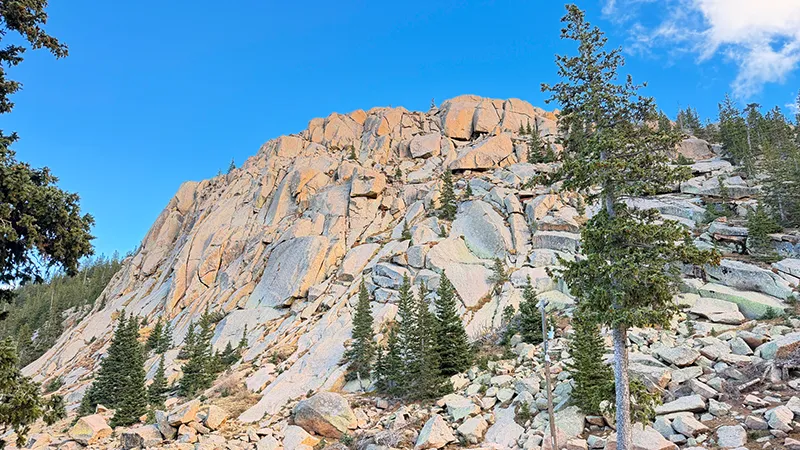
Glen Cove
Near Mile 13, Glen Cove is a helpful high-elevation stop to take a break and enjoy the changing scenery. By this point, the forested lower slopes have given way to a more rugged mountain landscape, making it a great place to pause before continuing toward the Summit.
Devils Playground
Near Mile 16, Devils Playground delivers dramatic high-alpine scenery and wide-open views. This is where the wind, colder temperatures and elevation can really make themselves known, so have warm layers ready and make sure anything on or in your vehicle is secured.
Pikes Peak Summit Visitor Center
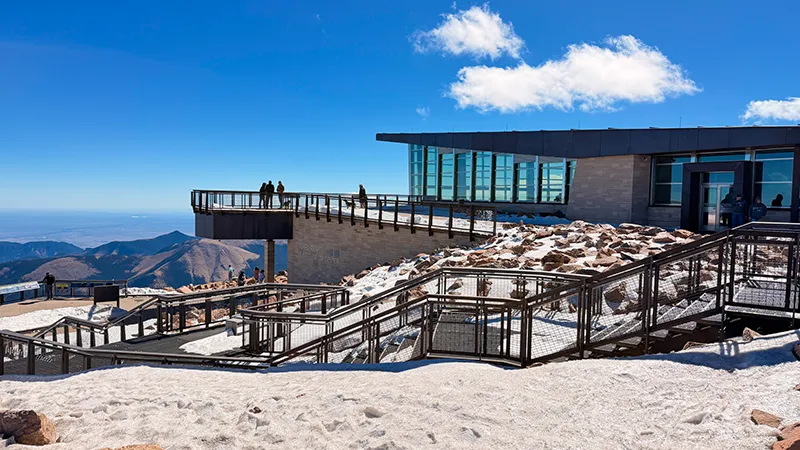
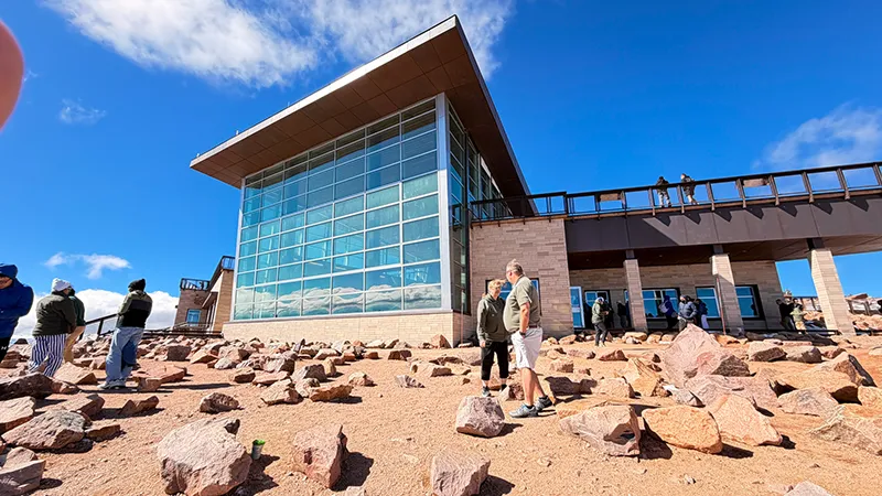
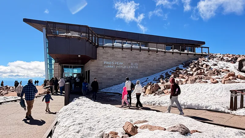
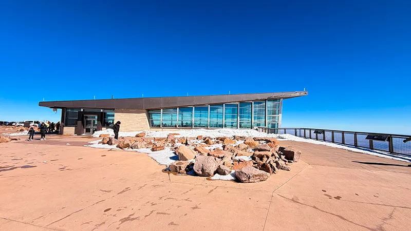
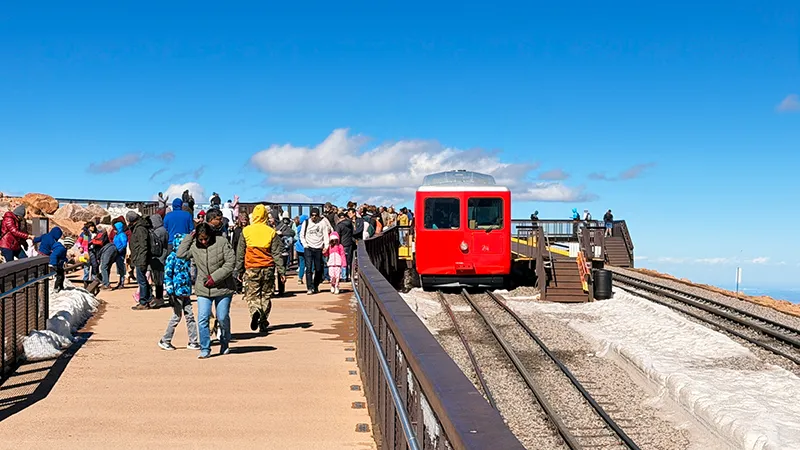
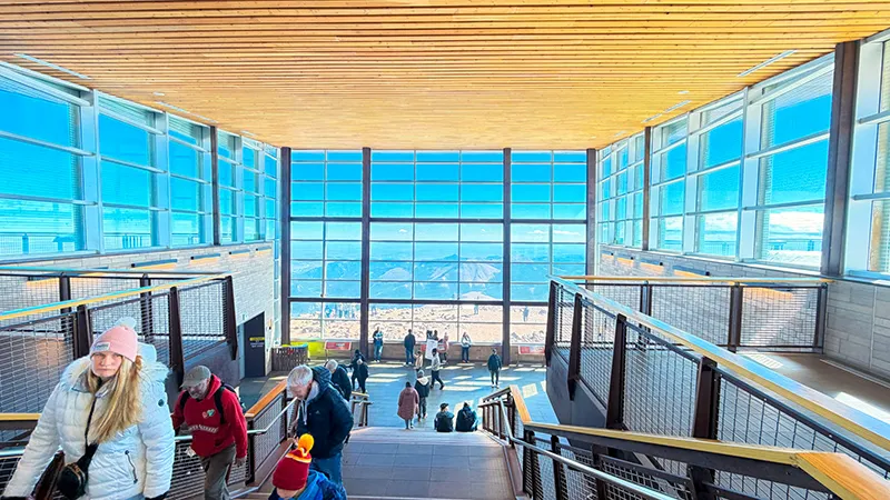
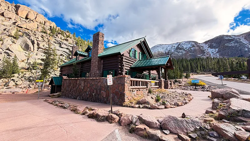
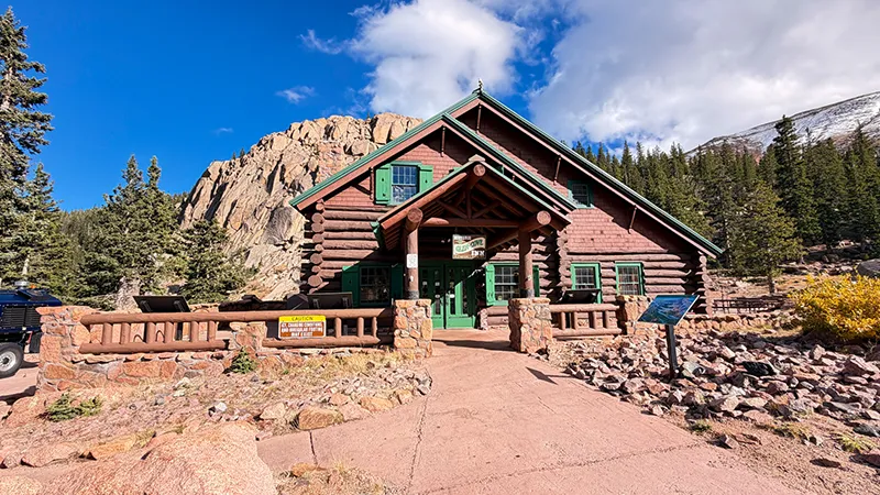
At Mile 19 and 14,115 feet, the Pikes Peak Summit Visitor Center is the grand finale of the drive. Step inside to warm up, enjoy the exhibits, grab a bite to eat and take in the breathtaking views before beginning the drive back down the mountain.
General Information
Road access, weather, operating hours, fees, timed-entry requirements and visitor facilities may change. Confirm current information with Pikes Peak – America’s Mountain before visiting.
Before You Go
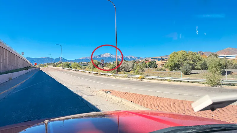
Plan your route before heading out, and download your maps before leaving. From Colorado Springs, take US 24 west toward Cascade and follow the signs to the Pikes Peak Highway entrance. Our route began in Eldorado Canyon, continued south on I-25 through Colorado Springs and included a stop at North Pole – Santa’s Workshop before heading up the mountain.
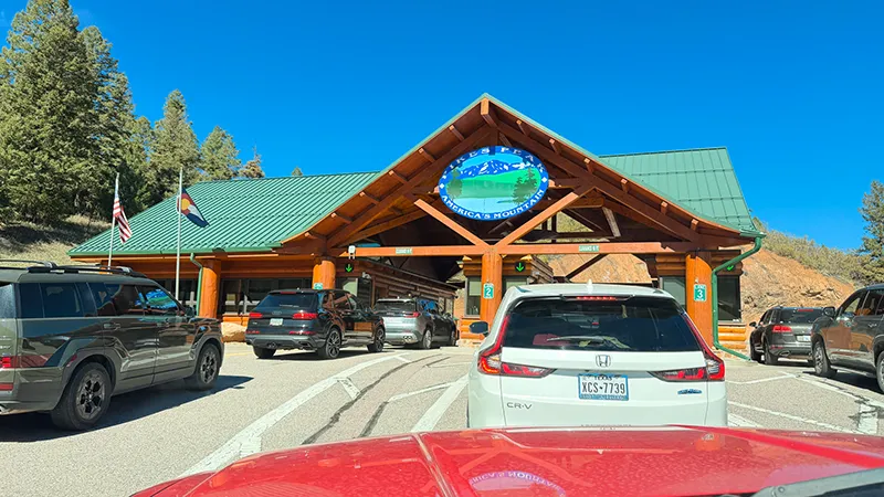
Check Pikes Peak’s current hours, rates and road conditions before departure. Pikes Peak Highway is open year-round, weather permitting, and mountain conditions can change quickly. For same-day road updates, call 719-385-7325 and select option 1.
Plan on a 19-mile drive to the Summit and about 38 miles round trip. Pikes Peak – America’s Mountain recommends allowing two to three hours for the drive, plus extra time for stops, photos and the Summit Visitor Center. The City recommends driving directly to the Summit first, then enjoying pullouts and points of interest on the way down to reduce strain on your vehicle.
For the 2026 summer season, vehicles traveling beyond Mile 7 needed a $2 timed-entry permit from May 22 through September 30, in addition to admission. Timed-entry policies can change, so review the current reservation requirements before a summer visit.
Prepare your vehicle for a high-elevation mountain drive. Bring at least a half tank of fuel, make sure your vehicle has a low-gear setting for the descent and use it rather than riding your brakes. Pull-behind trailers and campers are prohibited, and automatic vehicles must have a setting that can hold first gear. Secure tonneau covers, cargo and anything else that could catch a strong mountain wind.
Vehicle Restrictions & Requirements
At 14,115 feet, the Summit can feel much colder and windier than Colorado Springs. Pack warm layers, water, snacks, sun protection and sturdy shoes. If you are not used to higher elevations, take your time and allow for breaks. A small can of oxygen may be a comfort item, but do not rely on it to treat altitude illness; if symptoms become serious or worsen, descend and seek help.
Build in time for North Pole – Santa’s Workshop, Crystal Reservoir, Glen Cove, Devils Playground and the Pikes Peak Summit Visitor Center. Use designated pullouts and parking areas, and remember that hiking, overnight camping and overnight parking are not allowed on Pikes Peak Highway.
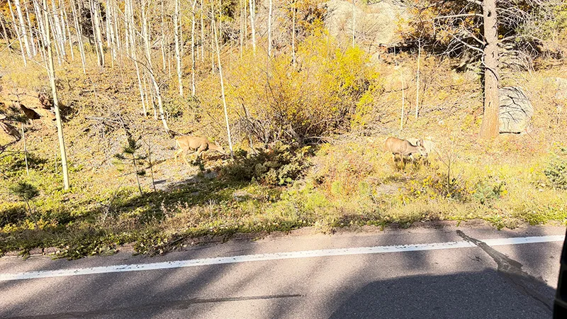
Bring binoculars or a zoom lens for wildlife viewing, but never approach or feed animals. Give wildlife room to move away, stay alert around pullouts and respect the fragile high-alpine environment.
Bringing your four-legged explorer? Zero rode with us in our truck, but pets are not permitted on the Pikes Peak shuttle—only service animals are allowed. Confirm current pet rules for your planned stops and trails before you leave.
Take your trash with you, respect the mountain and leave every stop ready for the next explorer.
Road conditions and business schedules can change. Confirm current details before visiting.
Check pet rules at individual stops.
 Fred’s Photo Gallery
Double-tap a photo for a slideshow with a description. Mouse over the photo for a description
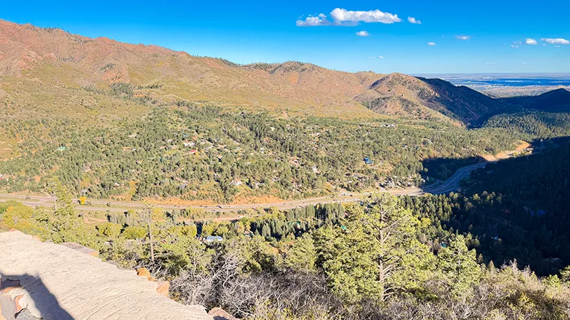
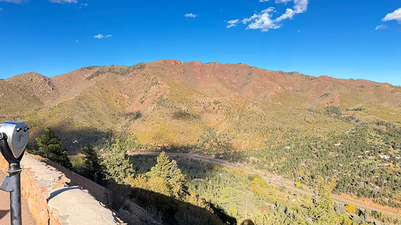
OUR DRIVE
NORTH POLE (SANTA’S WORKSHOP)
CRYSTAL RESERVOIR
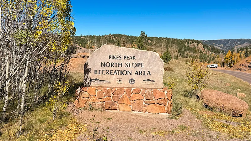
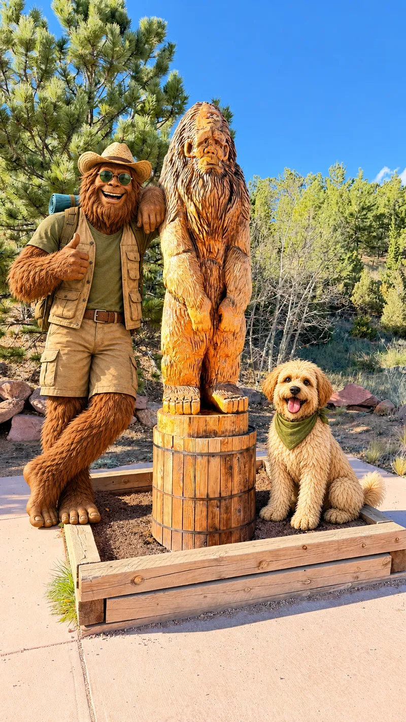
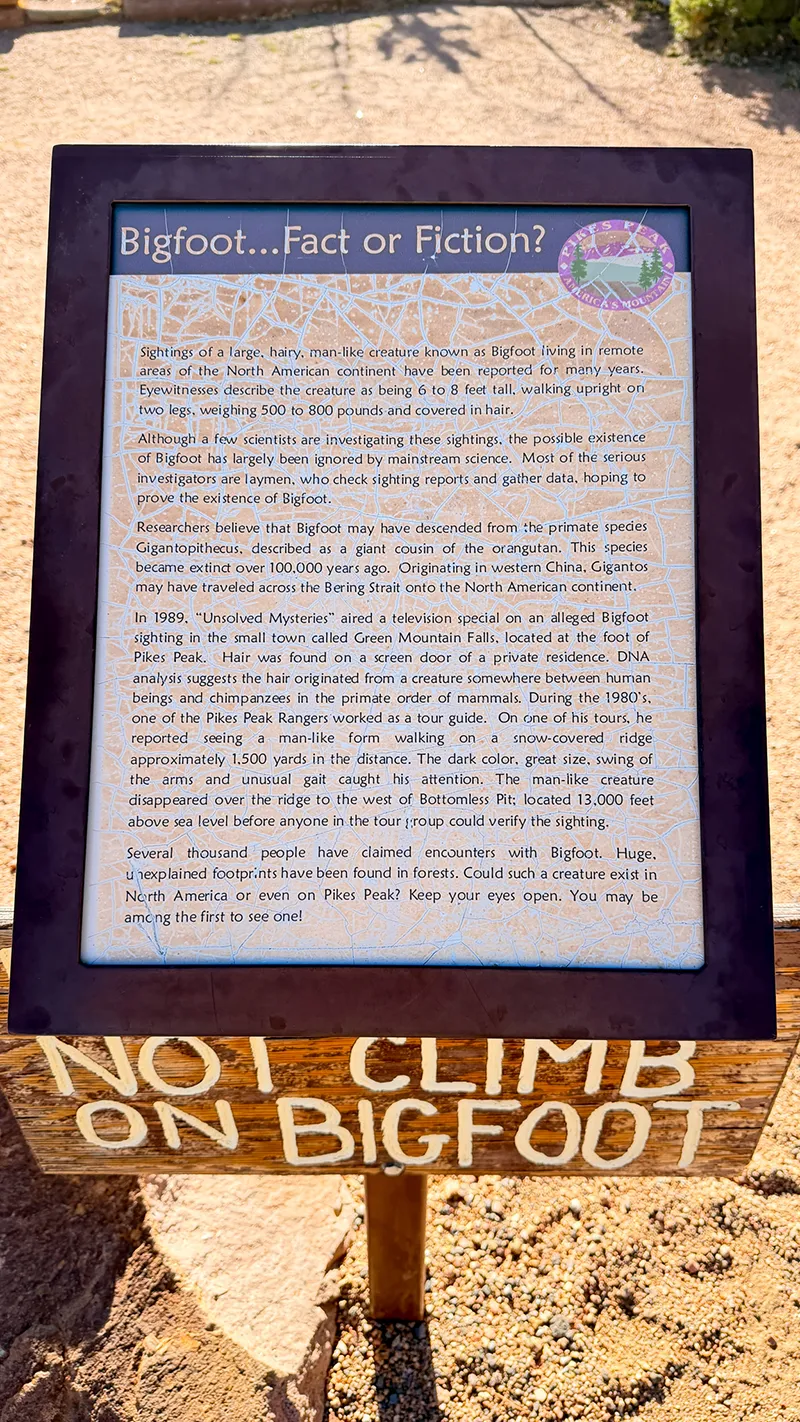
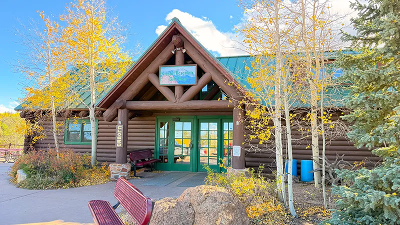
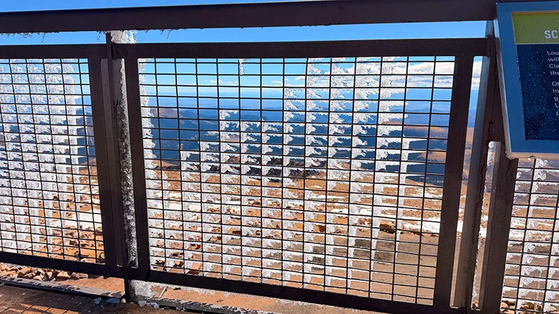
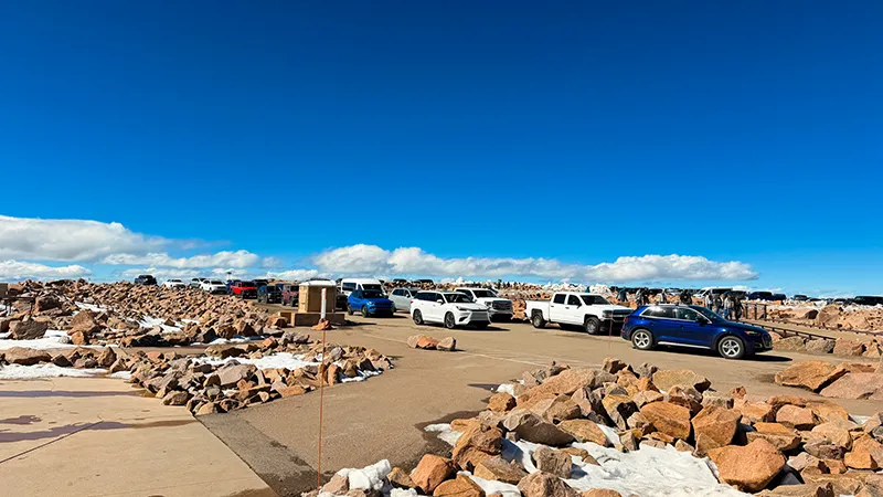
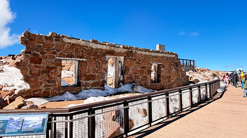
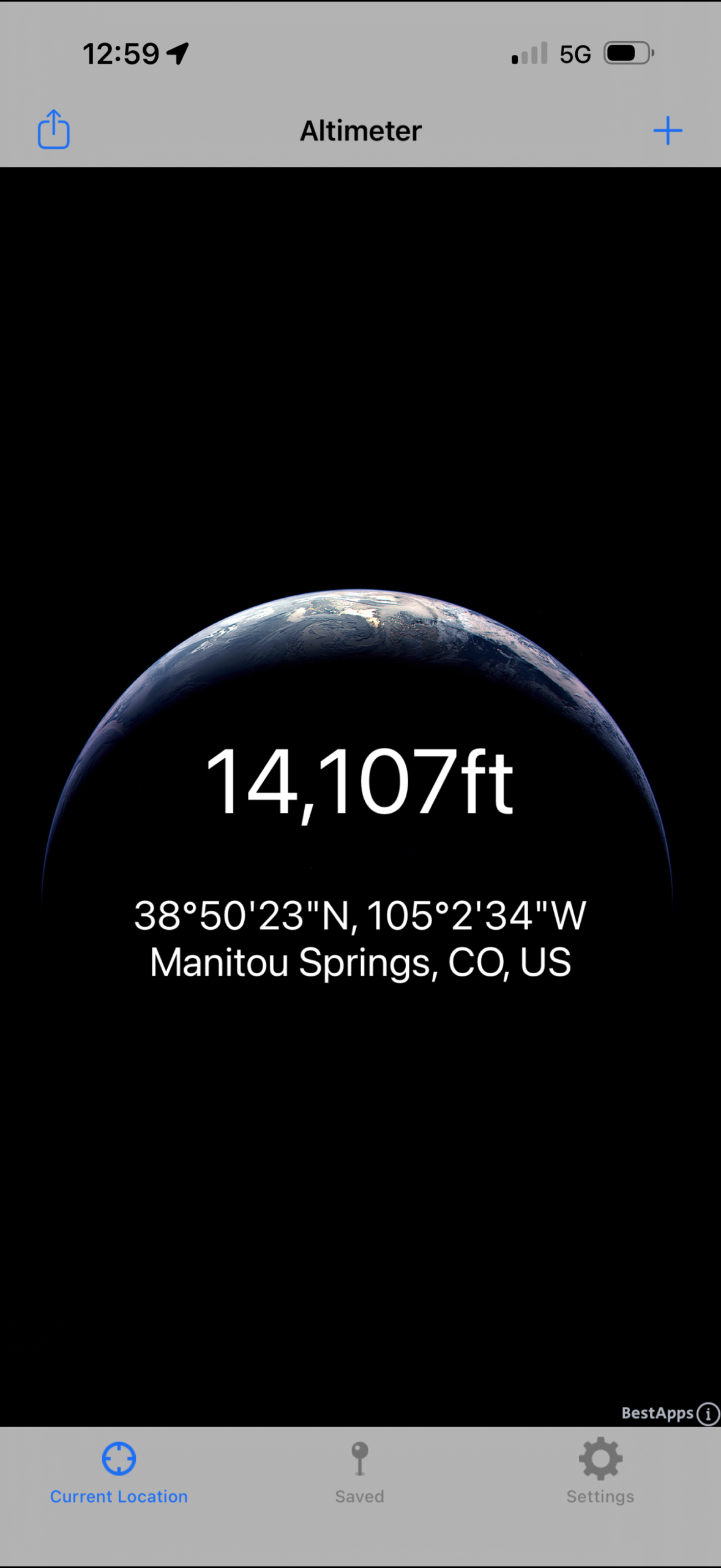
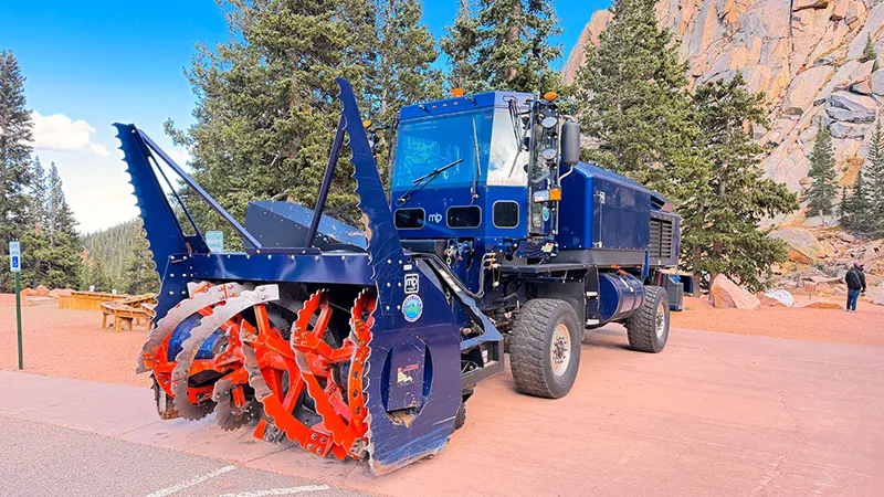
PIKES PEAK SUMMIT & Visitor Center: OUTSIDE
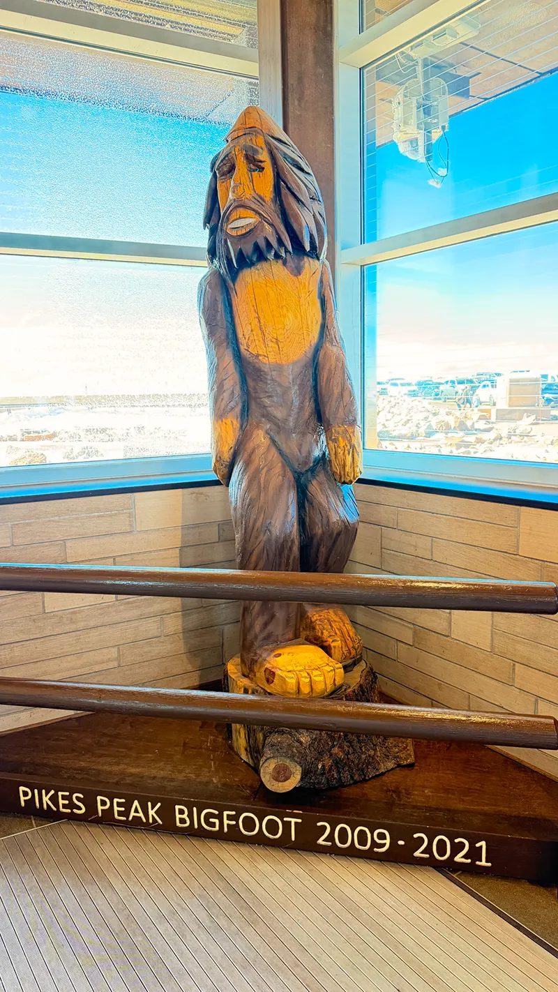
PIKES PEAK SUMMIT & Visitor Center: INSIDE
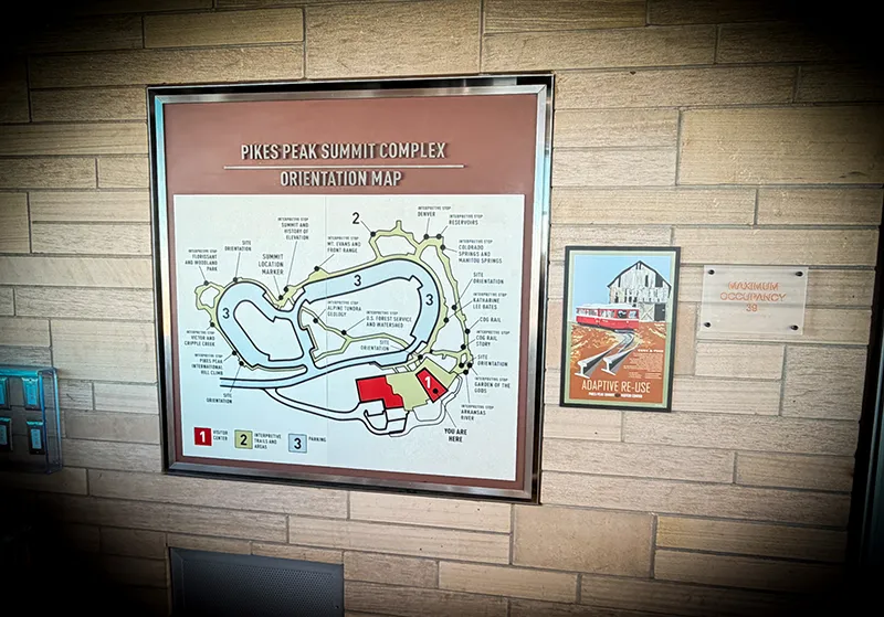
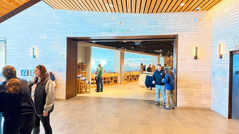

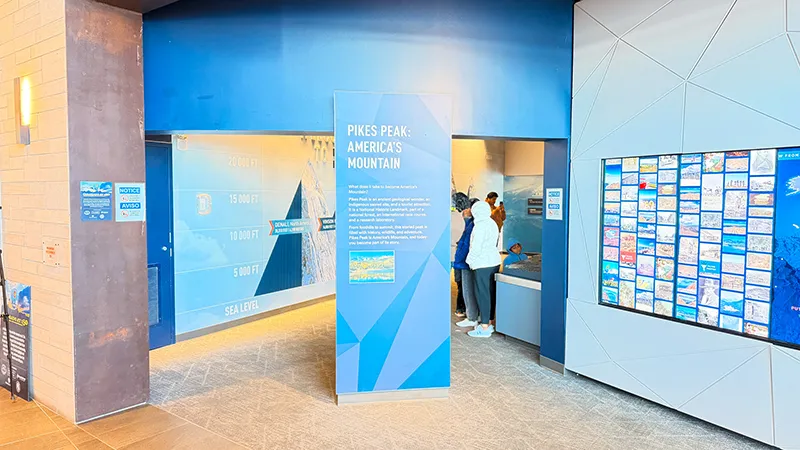
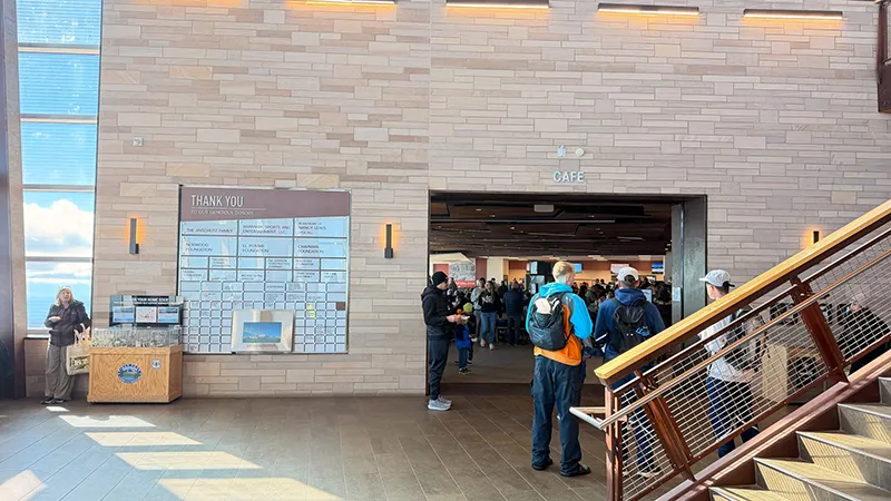
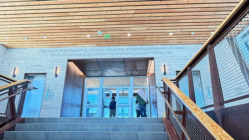
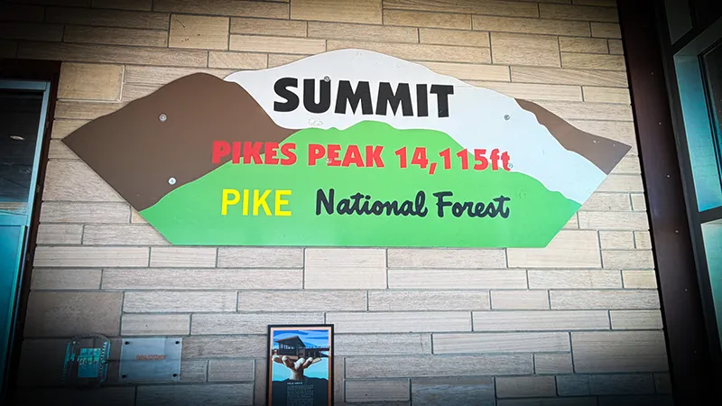
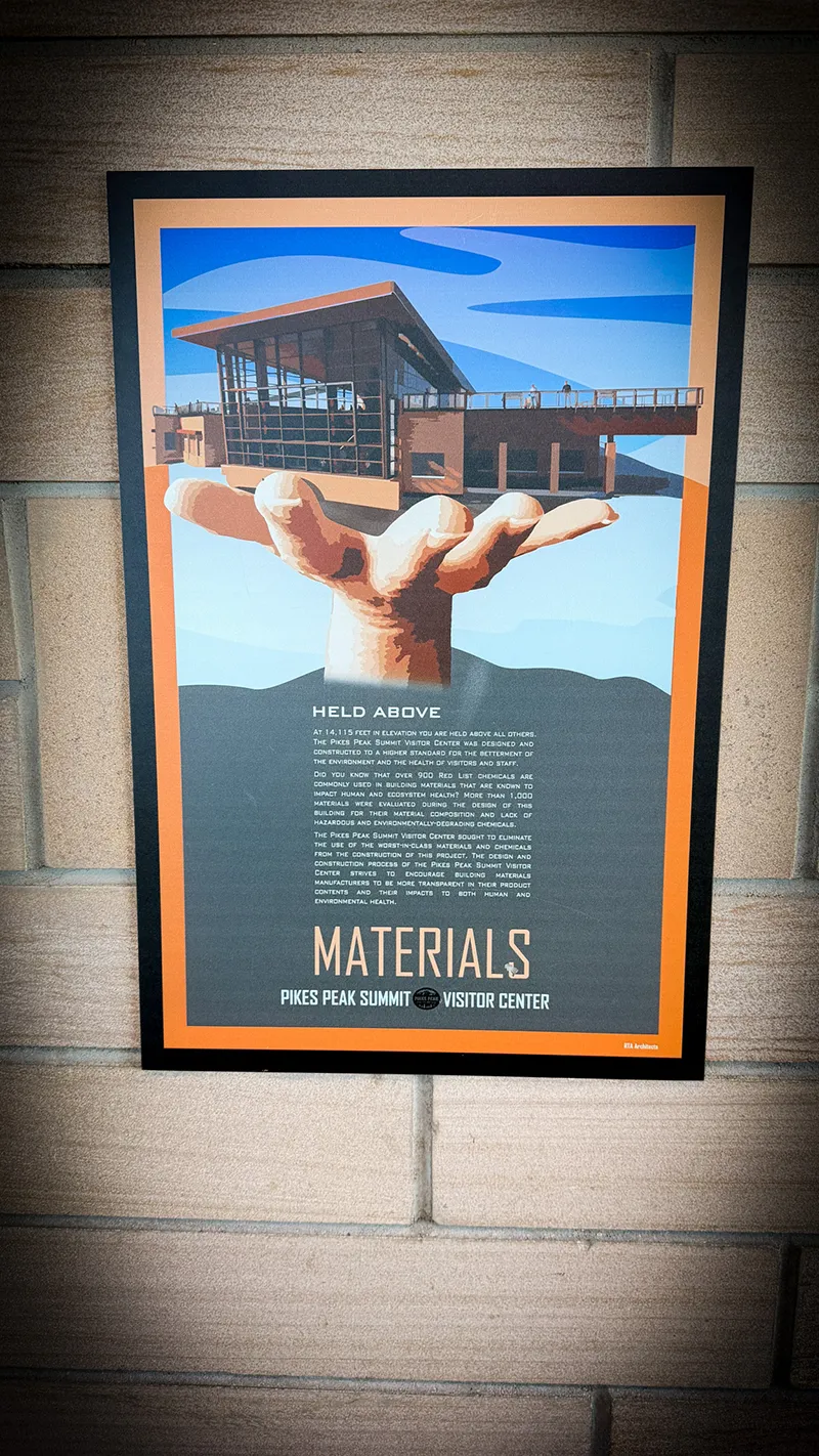
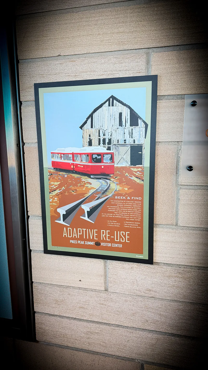


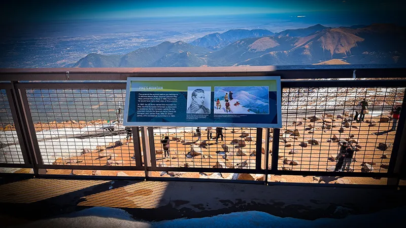
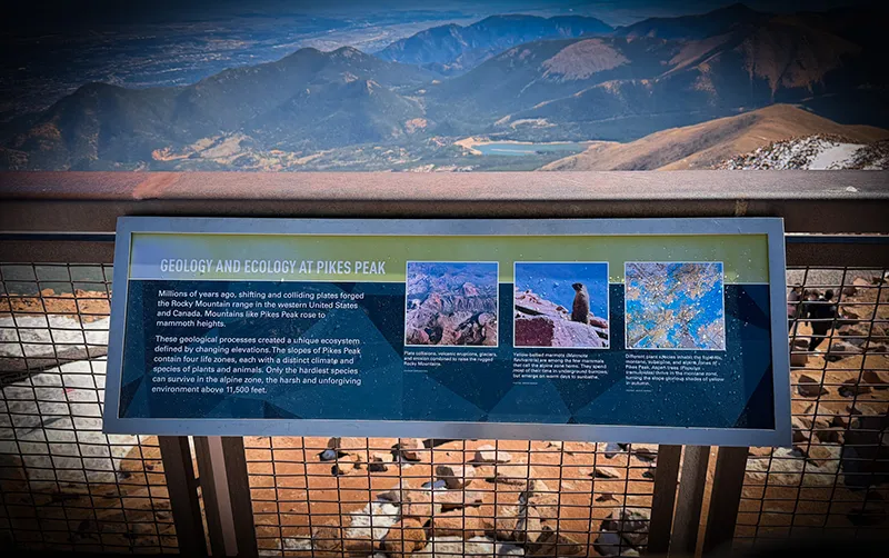
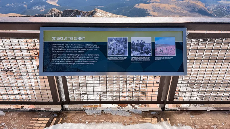
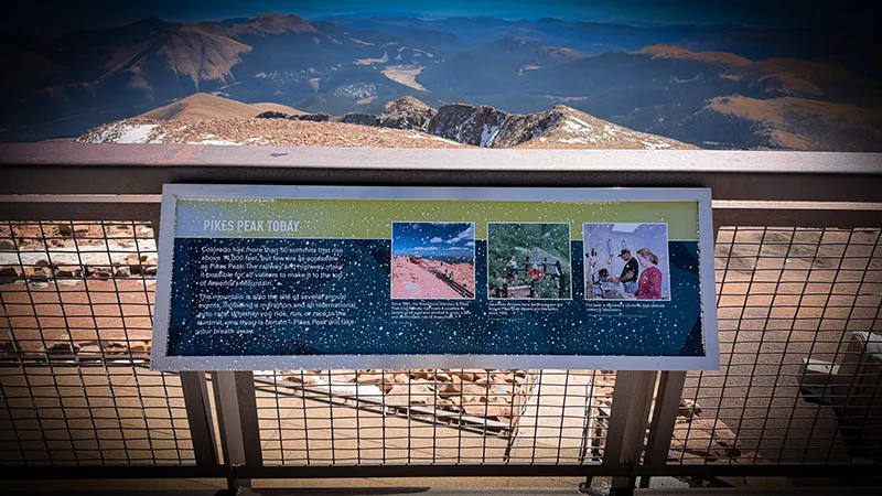
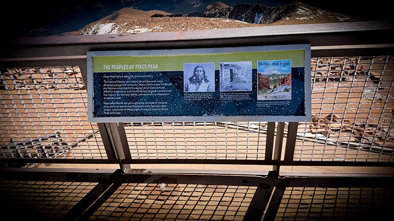
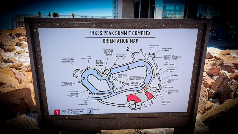
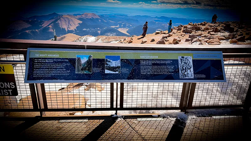
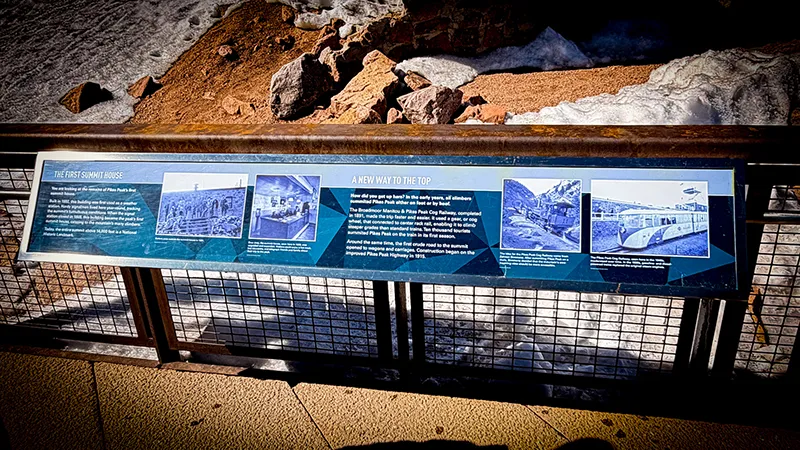
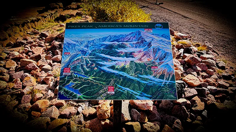
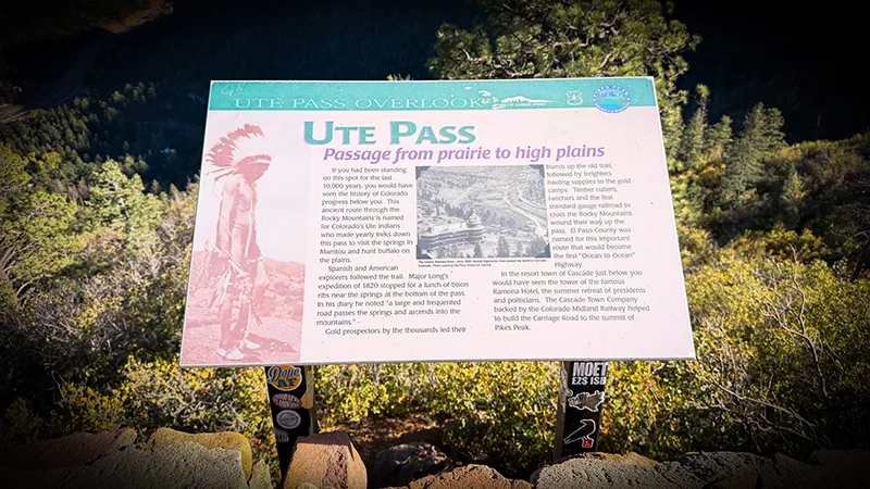
PIKES PEAK SUMMIT INTERPRETIVE SIGNS
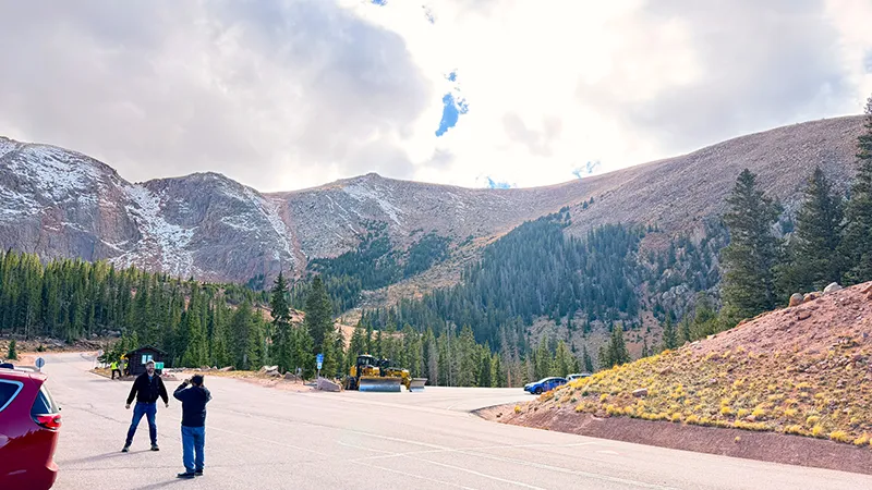
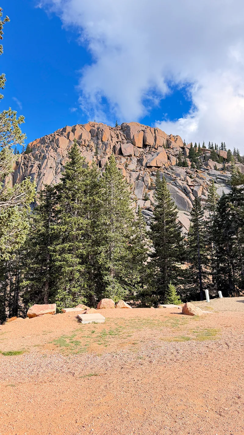
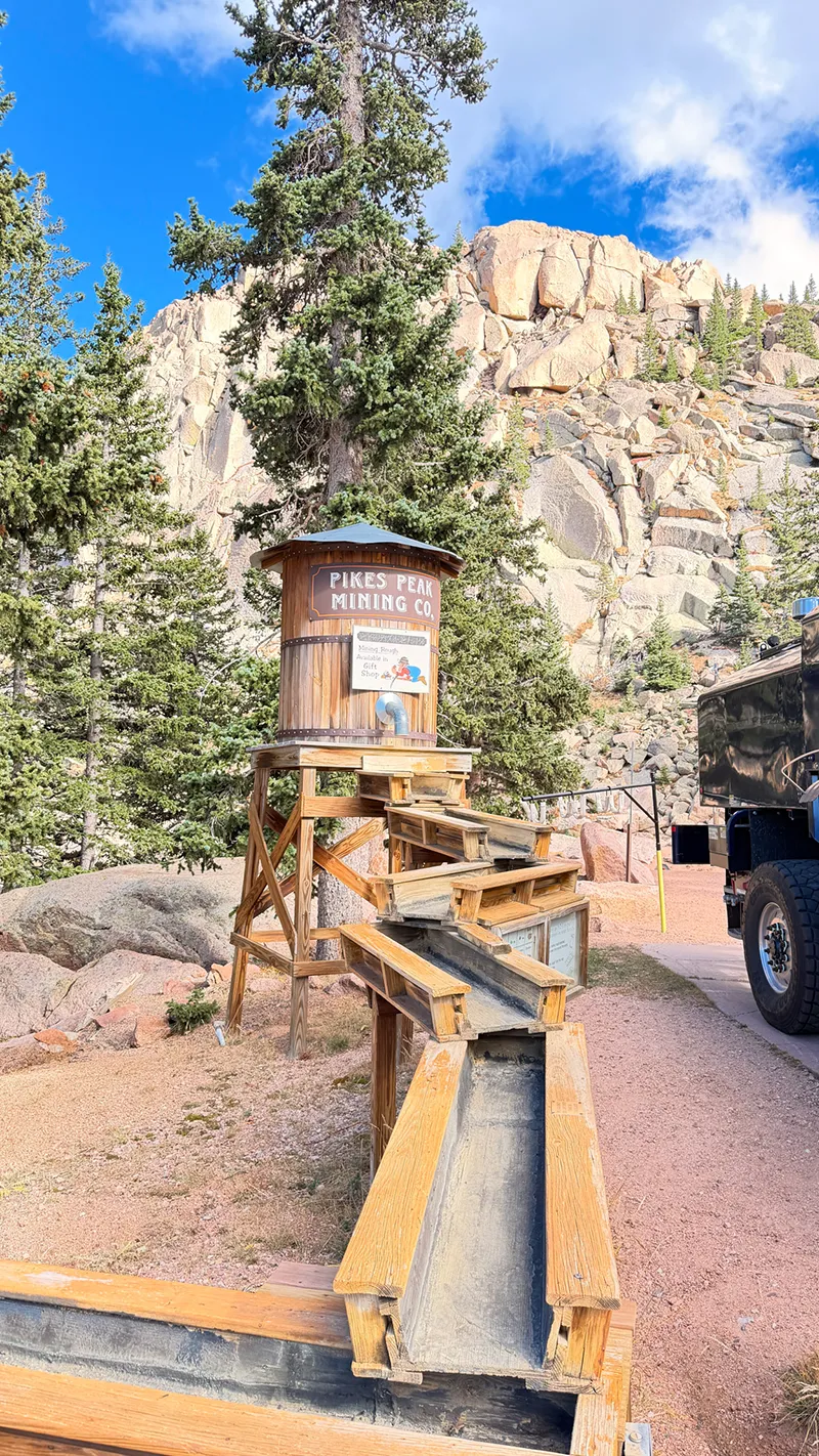
GLEN COVE @ MILE 13
Your Explorin’ Journal

CLICK IMAGE TO ENLARGE
Don’t let today’s adventure become tomorrow’s forgotten memory.
Print your free Adventure Journal Page and record the route you traveled, your favorite stop, what you discovered and the memories you want to keep.
Turn Today’s Adventures Into Tomorrow’s Treasures.

JOIN FRED’S CLUB AND GET YOUR FREE CERTIFICATE!

DON’T MISS THE NEXT ADVENTURE
Join Fred’s Fan Club, and I’ll let you know whenever Zero and I discover somewhere worth exploring and give you all of the scoop!
Get your free Fred’s Fan Club certificate when you join!