Scenic Drives
Virginia Canyon Road: Oh My Gawd Road
Wind through Golden Gate Canyon, Black Hawk and Central City before descending Virginia Canyon Road—better known as Oh My Gawd Road—to Idaho Springs. The narrow dirt-and-gravel route passes old mining sites and delivers big canyon views. Check road and weather conditions before you go.
 Central City to Idaho Springs, Colorado
 At A Glance





Fred Says
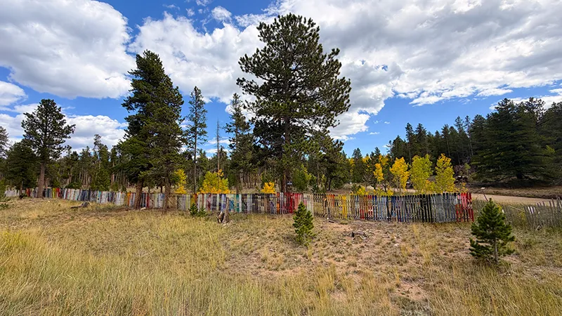
“We set out from Eldorado Canyon through Coal Creek Canyon and Golden Gate Canyon State Park, where the views were amazing, and the aspens were starting to twinkle in the sunlight. It is still a little early in some spots, but fall is definitely on its way!
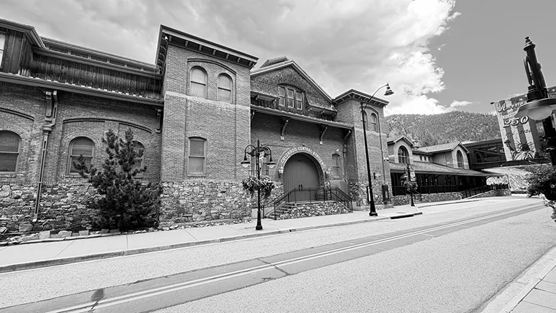
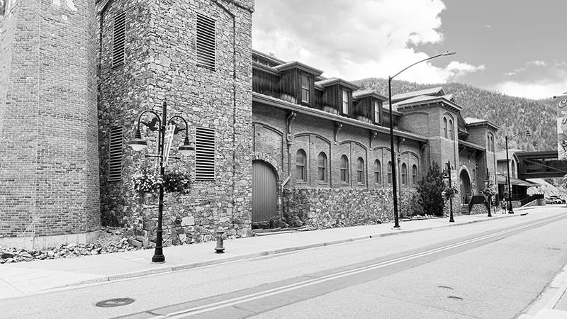
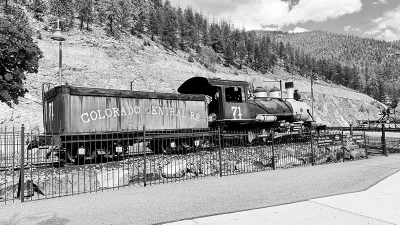
Black Hawk and Central City were fun to explore, especially the historic buildings. There were plenty of casinos, but I noticed most did NOT allow Bigfoot—even though there was a Sasquatch Casino! That is all right with me; I am more into the outdoors than casinos anyway.
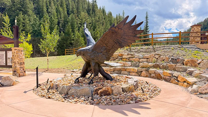
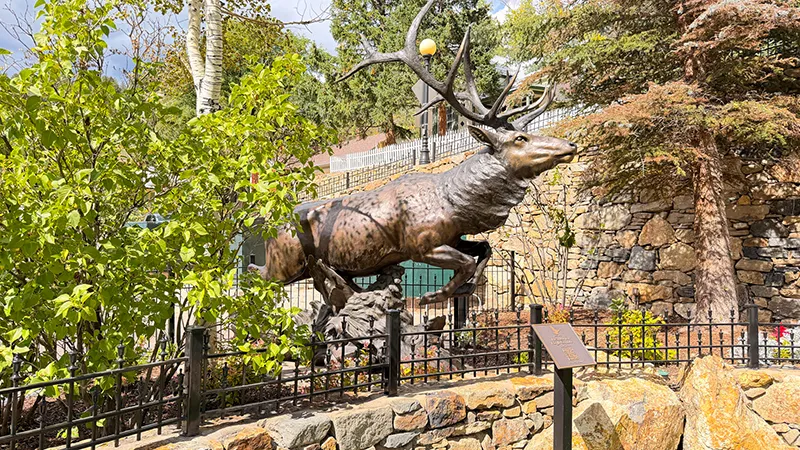
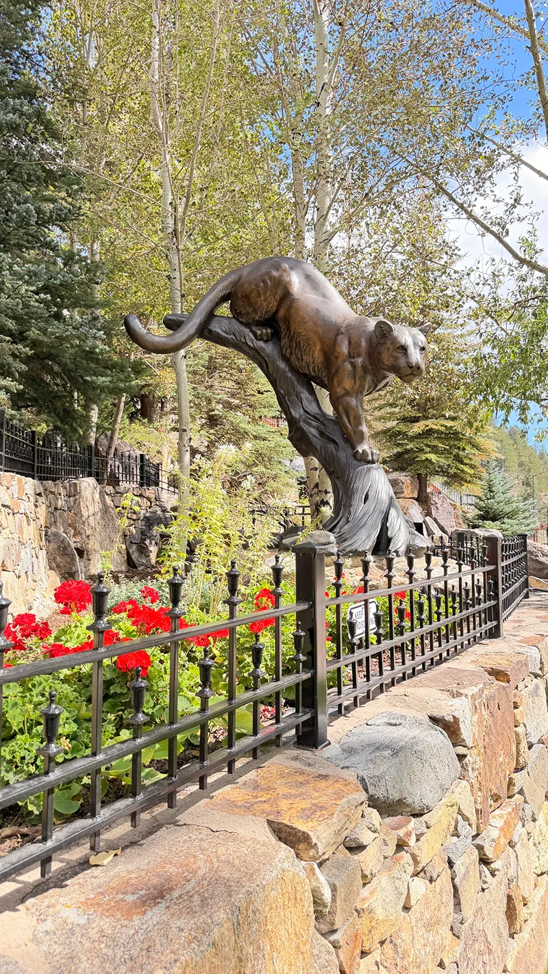
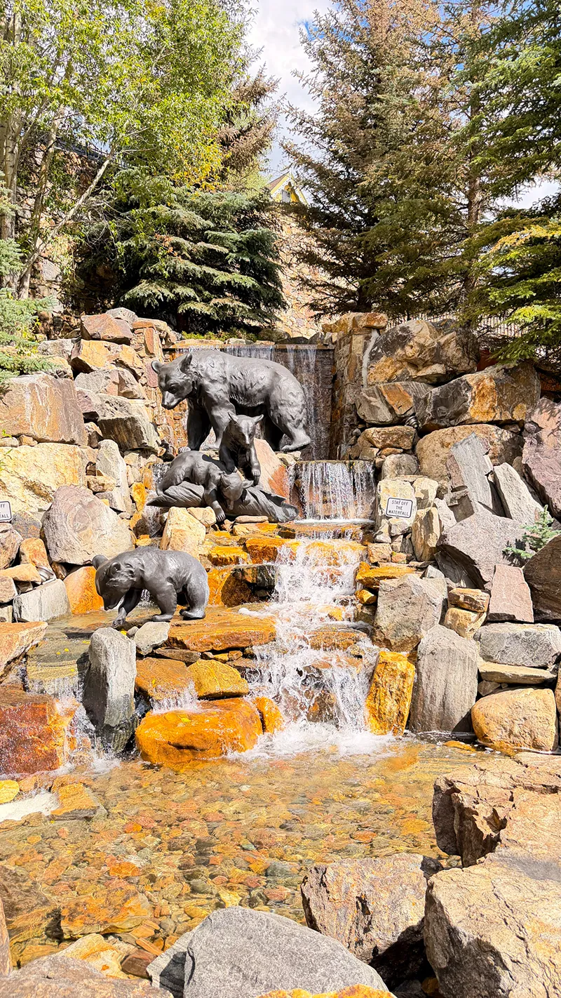
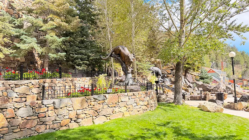
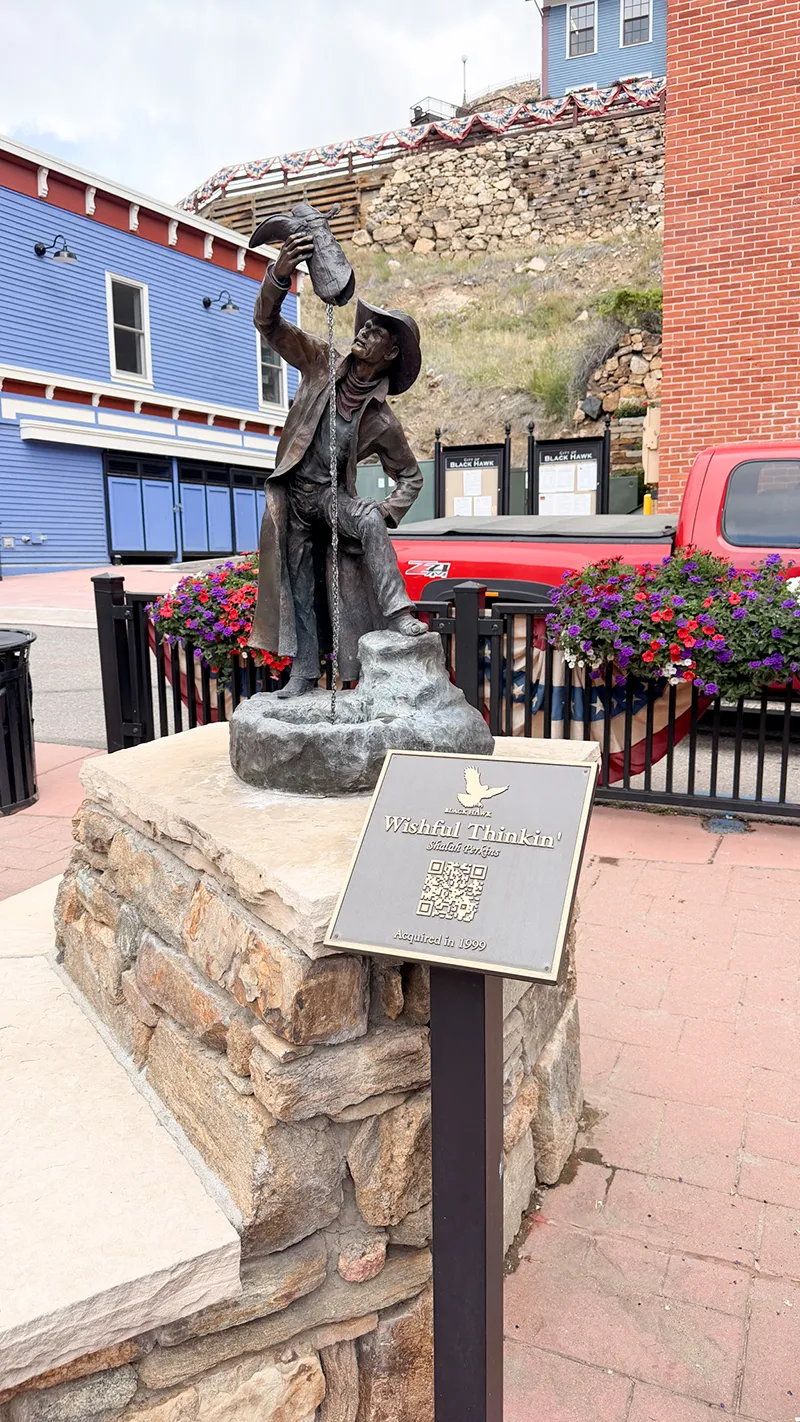
Mountain Park may be small, but it is beautiful. Zero and I had lunch there, surrounded by outstanding bronze sculptures of an elk, a mountain lion and a bear with cubs.
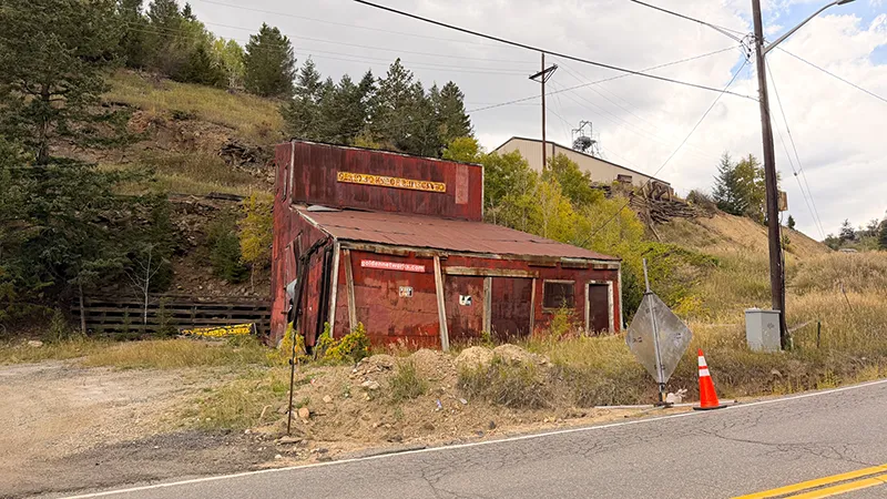
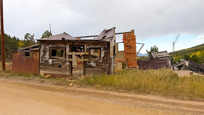
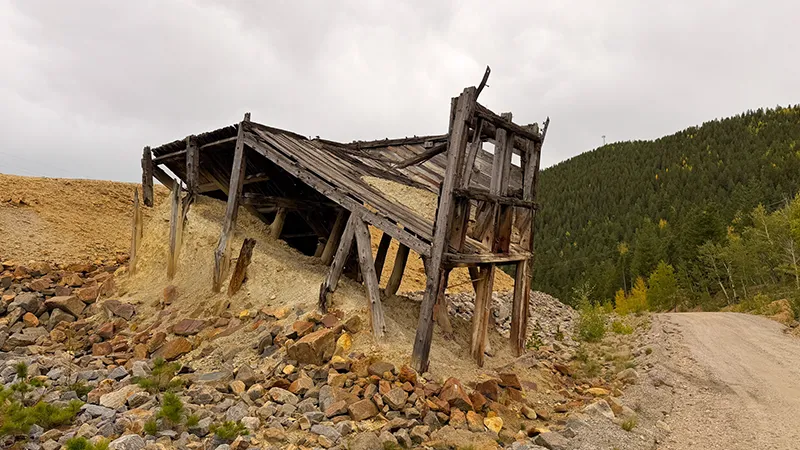
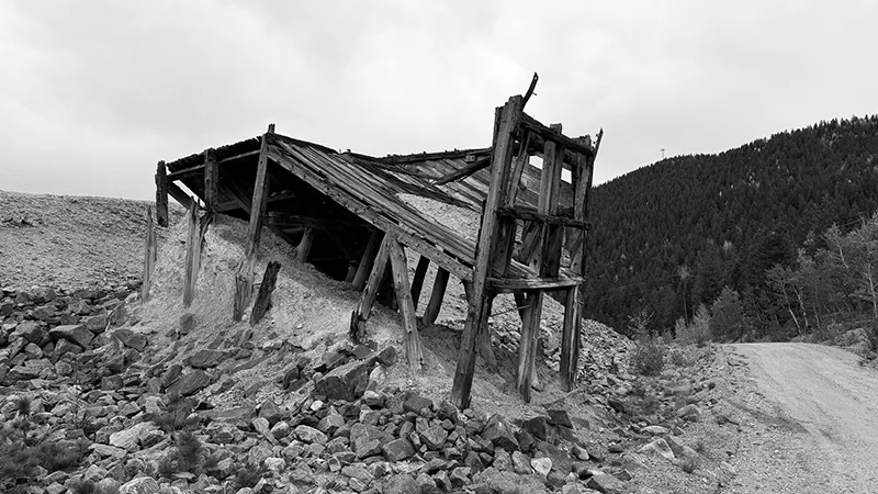
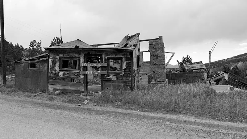
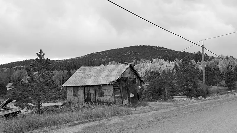
Then came Virginia Canyon Road—the Oh My Gawd Road. Seeing abandoned mines along the rough mountain route had me thinking about the people who once worked and lived up here.
Between the early aspens, canyon views, historic towns and mining history, this was a drive worth slowing down for. Keep explorin’!”

Why You’ll Love This Scenic Drive
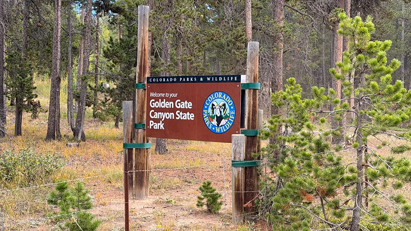
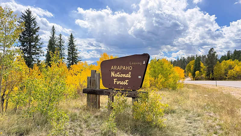
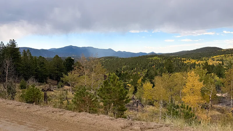
This scenic drive delivers a little bit of everything: paved canyon roads, mountain views, historic towns and a rugged finish on Virginia Canyon Road. The route through Coal Creek Canyon and Golden Gate Canyon State Park gives you plenty of reasons to slow down, especially when the aspens begin turning in fall.
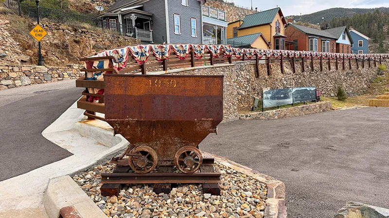
Black Hawk and Central City add a different kind of scenery. Their historic buildings offer a glimpse into Colorado’s mining-era past, while Virginia Canyon Road—better known as Oh My Gawd Road—takes the adventure into the mountains toward Idaho Springs. Seeing abandoned mines along the way makes the route feel like a step back in time.
The drive is full of worthwhile places to pause. Take in the views at Golden Gate Canyon State Park, explore the historic streets, and make time for small but beautiful Mountain Park. Its bronze wildlife sculptures—including an elk, mountain lion and bear with cubs—make a fun stop for families and animal lovers.
This is a great route for explorers who enjoy changing scenery, Colorado history and a little adventure built into the drive. Give yourself time, bring a camera and let the mountain views, early aspens and mining remnants turn the journey into an experience.
Scenic drive information—including road access, closures, conditions, fees, business hours and visitor rules—is subject to change. Always confirm current details with the responsible road agency and individual destinations before your visit.
Stops Along the Way
Make time for a little explorin’ on this mountain-to-mining-country outing. Our route from Broomfield follows CO 72 and CO 119, turns onto Gap Road in Golden Gate Canyon State Park, continues through Black Hawk and Central City, then uses Virginia Canyon Road and Two Brothers Road on the descent to Idaho Springs. These stops add overlooks, trail time, mountain-town history and rough-road adventure—choose the ones that fit your day.
Panorama Point — Golden Gate Canyon State Park
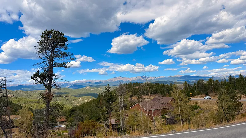
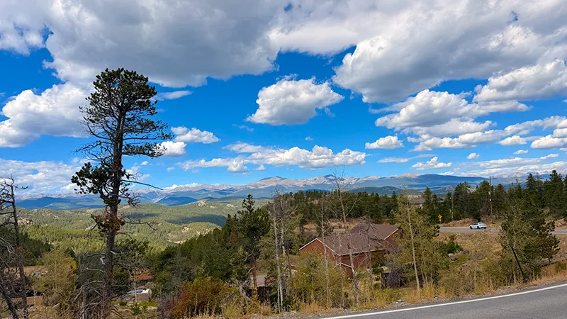
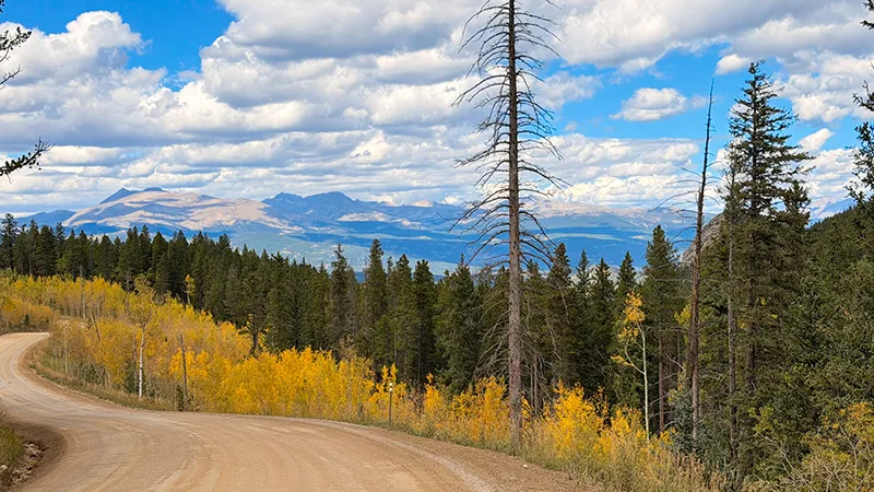
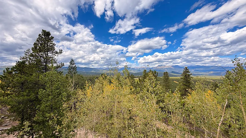
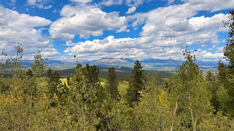
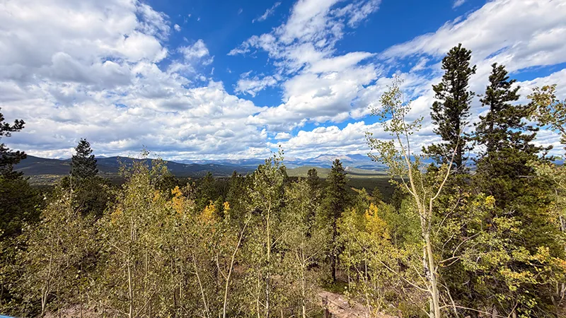
Start the day with a wide-open look at the Front Range. Panorama Point Scenic Overlook offers views of more than 100 miles of the Continental Divide on a clear day. It is a great place to photograph the mountains, take in the changing aspens and get a feel for how much landscape this route covers.
Check current park conditions, pass requirements and weather before entering the park.
Golden Gate Canyon State Park Information
Raccoon Trailhead — Optional Leg Stretcher
The Raccoon Trail is a 2.5-mile loop inside Golden Gate Canyon State Park. It is open to hikers, mountain bikers, horseback riders and dogs, making it a flexible option if you want a little trail time before returning to the vehicle.
Give yourself time for the full loop, or simply stop at the trailhead and save the hike for another day. Check current trail conditions before setting out.
Golden Gate Canyon State Park Trails
Black Hawk — Mining-Town History on Gregory Street
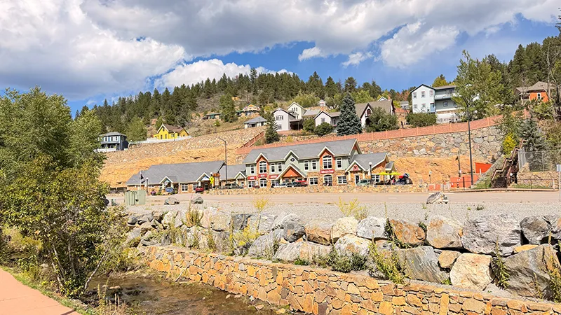
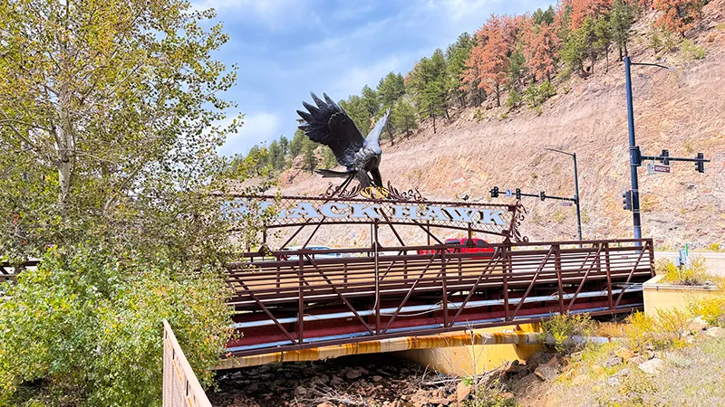
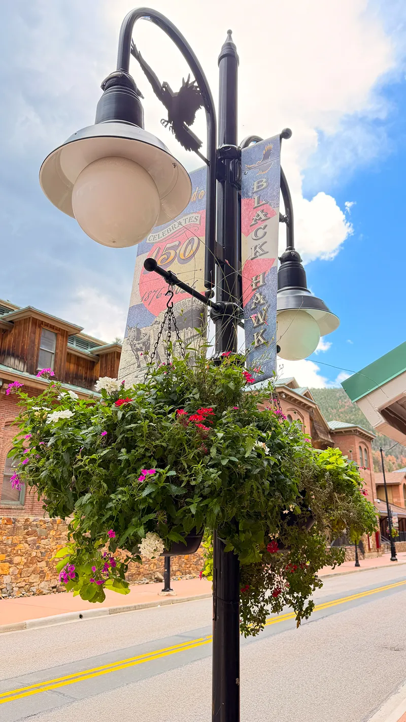
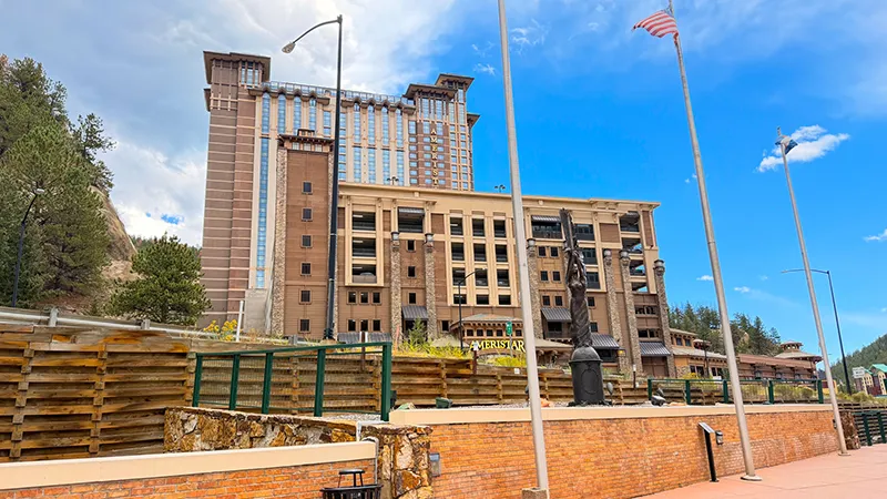
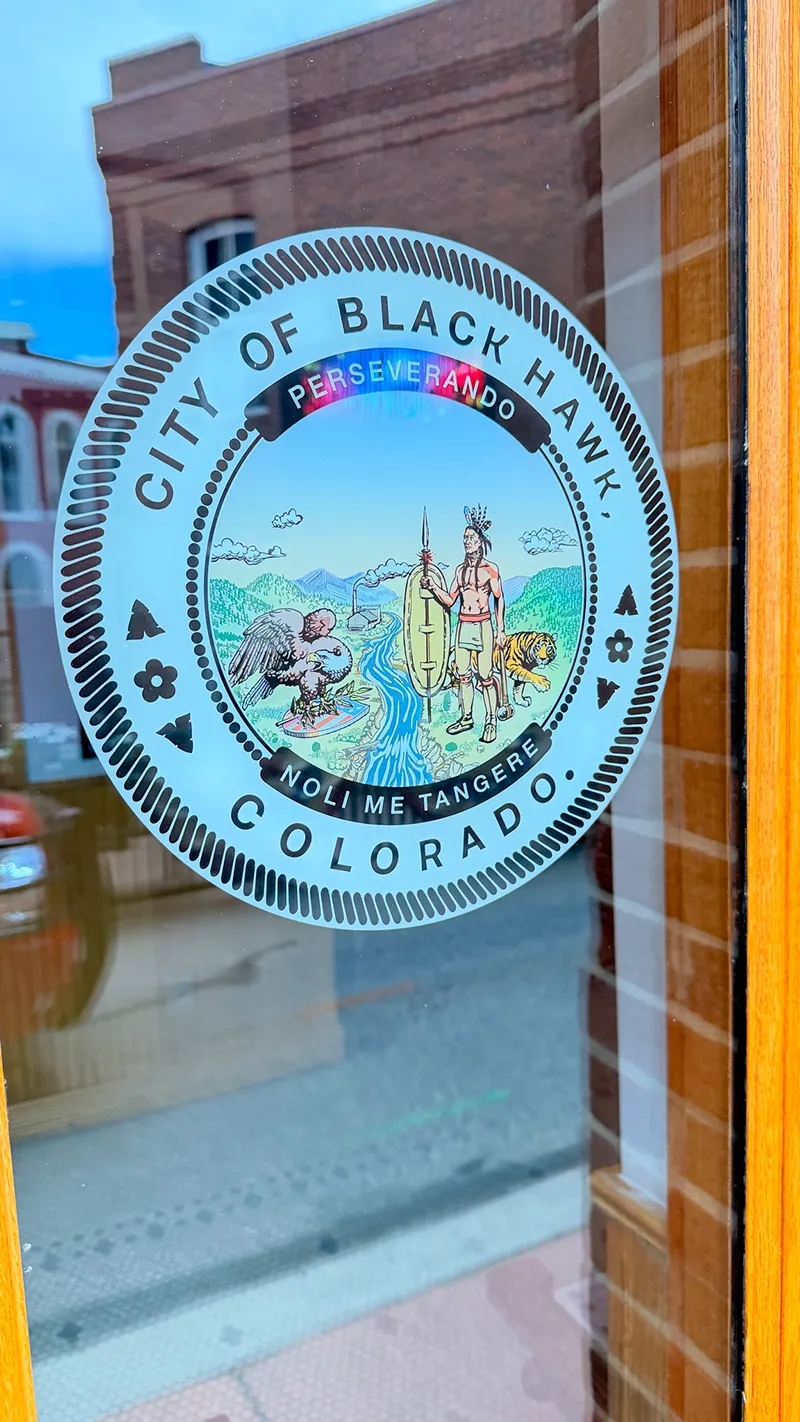
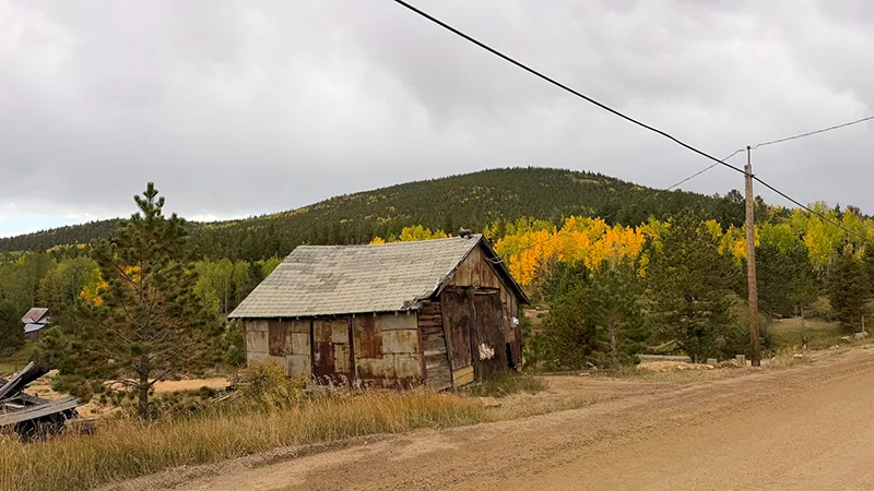
Slow down and look beyond the casinos as you pass through Black Hawk. The town began as a mining camp in 1859, and its historic core offers a chance to spot remnants of Colorado’s gold-rush past before continuing toward Central City.
Gregory Street Plaza is a worthwhile place to pause, stretch your legs and read the historic markers that share more about the town’s story.
Black Hawk History | Gregory Street Plaza
Central City — Historic Buildings & a Short Walk
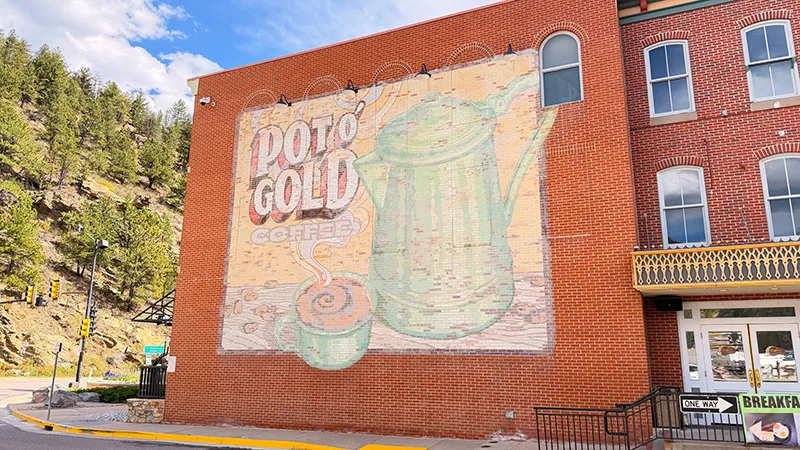
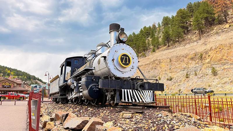
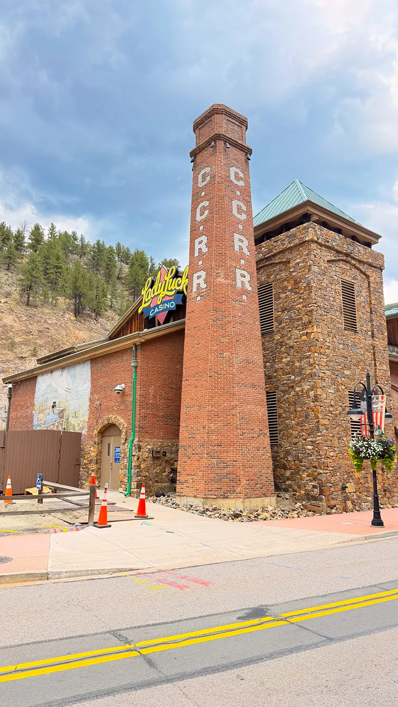
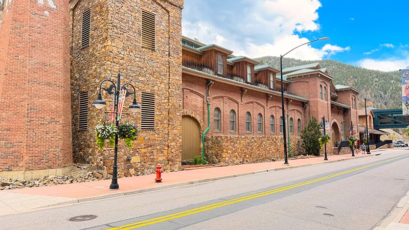
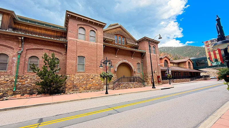
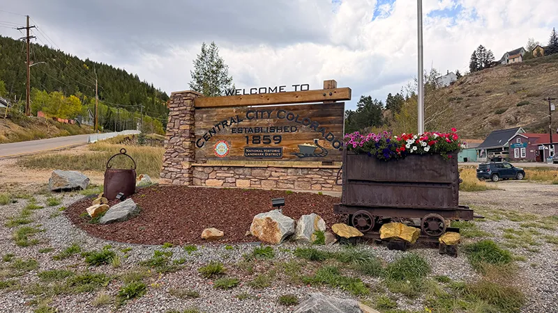
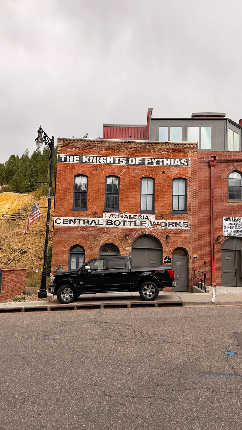
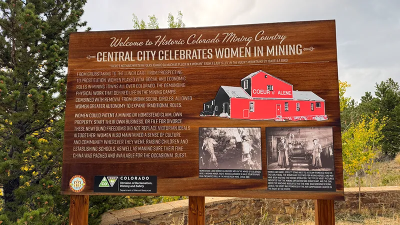
Central City is a great place to park, walk and admire preserved buildings from the Gold Rush. The city’s visitor site identifies 294 historic buildings more than 100 years old, so even a short stroll adds real history to the drive.
Before heading down Virginia Canyon Road, take a few minutes to enjoy the architecture and imagine this mountain town during its mining boom.
Central City History | Central City Self-Guided Walking Tour
Mountain Park — Wildlife Sculpture Picnic Stop
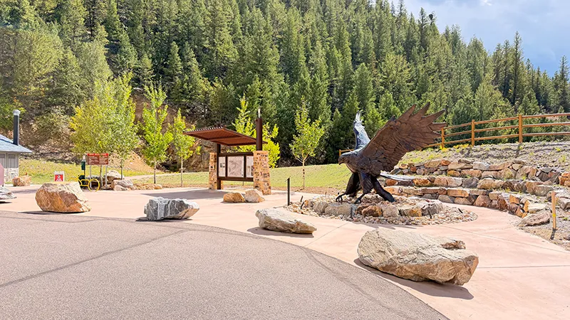
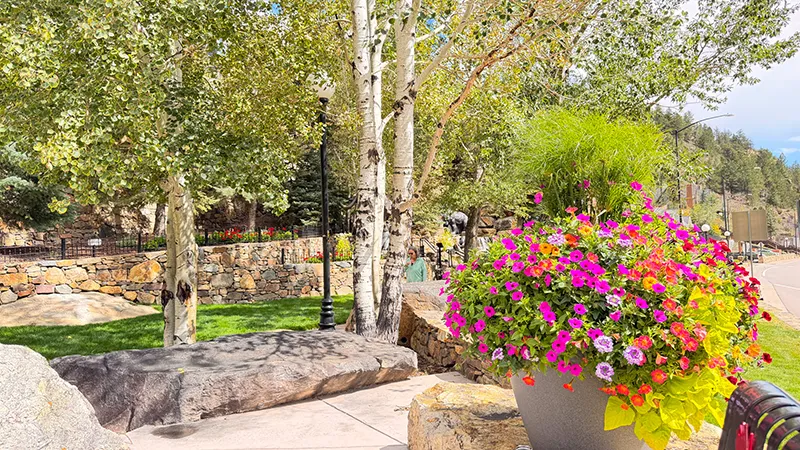
Mountain Park may be small, but it is beautiful—and it made a perfect stop for lunch with Zero. The bronze sculptures of an elk, a mountain lion and a bear with cubs are worth a closer look and add a memorable wildlife touch before the rough-road portion of the drive.
Virginia Canyon Road & Two Brothers Road — The Oh My Gawd Drive
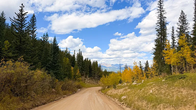
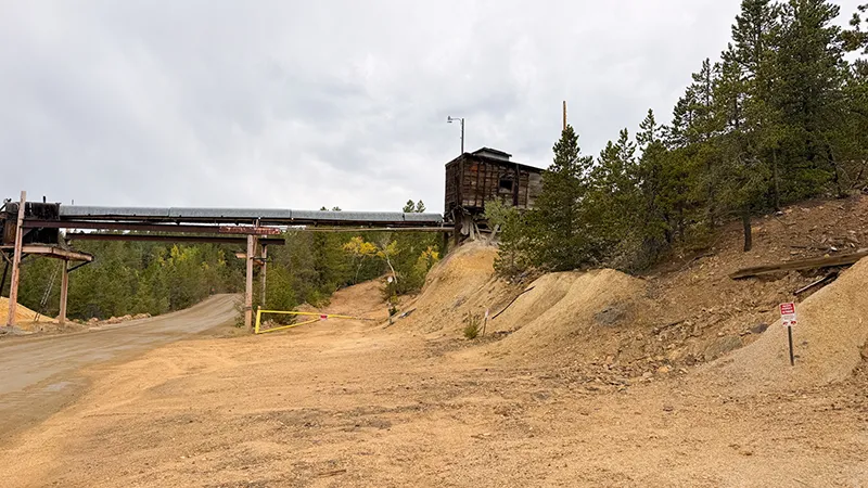
From Central City, the scenic drive becomes its main event. Virginia Canyon Road—known locally as Oh My Gawd Road—is an unpaved dirt-and-gravel route between Central City and Idaho Springs, with narrow, curving lanes, mountain views and old mining remnants along the way.
We followed Virginia Canyon Road to Two Brothers Road, then rejoined Virginia Canyon Road toward Idaho Springs. Allow more time than your map may suggest, stay alert for changing surface conditions and check road and weather reports before you go.
Virginia Canyon Scenic Drive Information | Check Colorado Road Conditions
Idaho Springs — Finish the Drive
Once you reach Idaho Springs, the rough-road portion of the adventure is behind you. It is a good place to stretch your legs before heading home, or to extend the day with a look around this historic mining town.
If you have time, the Idaho Springs Heritage Museum and Visitor Center is a useful stop for learning more about the area and its mining history.
General Information
Road access, weather, park fees, capacity limits, visitor facilities and pet rules may change. Confirm current details with Colorado Parks and Wildlife, Clear Creek County Tourism and Colorado road-condition resources before heading out.
Before You Go
Plan your route before heading out, and review the roads your navigation app selects. Our outing followed CO-72 through Coal Creek Canyon to CO-119, entered Golden Gate Canyon State Park on Gap Road, continued through Black Hawk and Central City, then followed Virginia Canyon Road and Two Brothers Road to Idaho Springs. Download offline maps before leaving—cell and internet service can be limited in Golden Gate Canyon and along mountain roads.
Check Golden Gate Canyon State Park updates and Colorado road conditions before departure. Clear Creek County lists Virginia Canyon Road as open year-round, but weather, road maintenance and changing surface conditions can affect whether the route is appropriate for your day. Keep your plans flexible and follow all posted closures and restrictions.
A valid Colorado State Parks pass is required for the Golden Gate Canyon State Park portion of this drive. Fall weekends can bring heavy visitation and early capacity limits, so arrive early and use designated parking only. Check current pass and fee information before you go.
Before leaving the pavement, make sure your vehicle is ready for rough mountain roads: good tires, sufficient fuel, water, snacks, warm layers, a wind-resistant jacket and a basic emergency kit are all smart to have along. Virginia Canyon Road is a dirt-and-gravel route with narrow, curving lanes. Drive slowly, watch for blind curves and use extra care at switchbacks. Stay to the right, use pullouts when available and never stop where you block the roadway.
The old mining sites along the route are part of the experience, but enjoy them from the public road only. Do not enter mine shafts or structures, cross fences or park on private property. Keep children and pets close, and remember that rough terrain, loose rock and aging structures are not places to explore.
Bringing Zero or another four-legged explorer? Raccoon Trail is dog-friendly, but Golden Gate Canyon State Park requires pets to remain on a handheld leash no longer than six feet. Bring water and waste bags, keep pets away from wildlife and follow posted rules at every stop. Golden Gate Canyon State Park Pet Rules
Use binoculars or a zoom lens for wildlife and mountain views, never feed animals and take your trash with you. Give other visitors room at overlooks, respect the historic towns and leave every stop ready for the next explorer.
Road conditions and business schedules can change. Confirm current details before visiting.
Check pet rules at individual stops.
 Fred’s Photo Gallery
Double-tap a photo for a slideshow with a description. Mouse over the photo for a description
THE SCENIC DRIVE
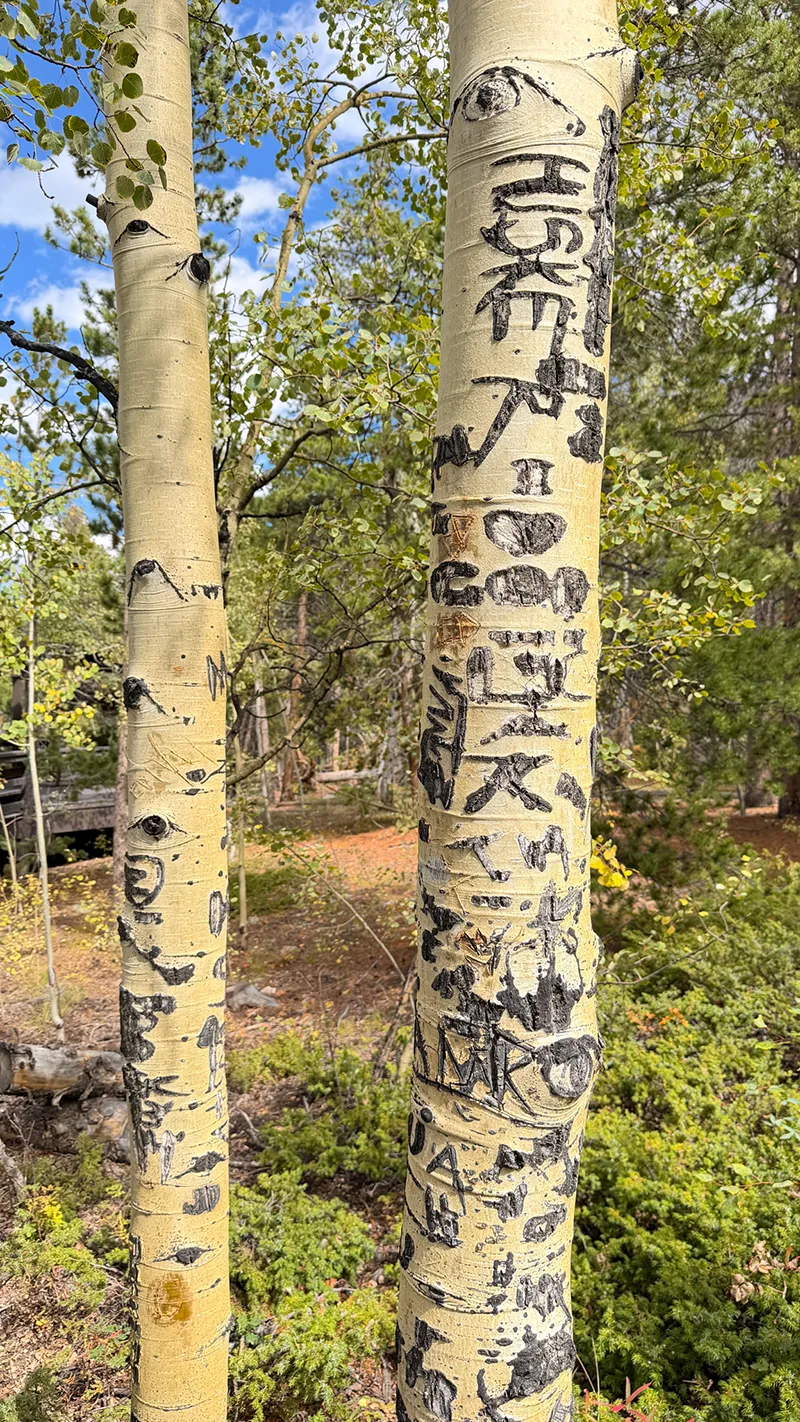
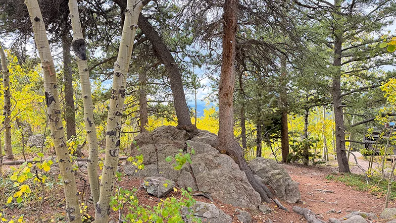
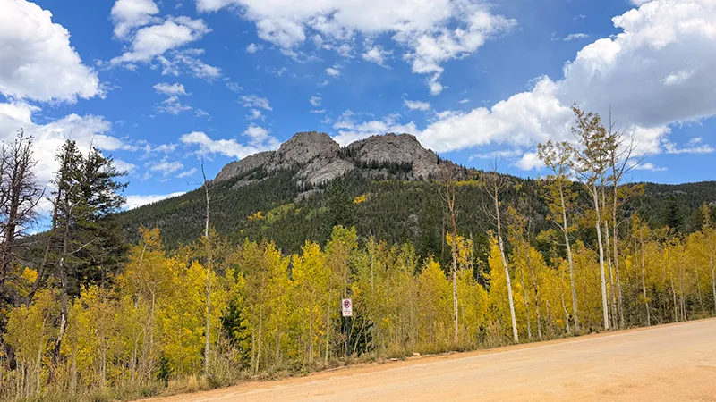
GOLDEN GATE CANYON STATE PARK


BLACK HAWK
CENTRAL CITY


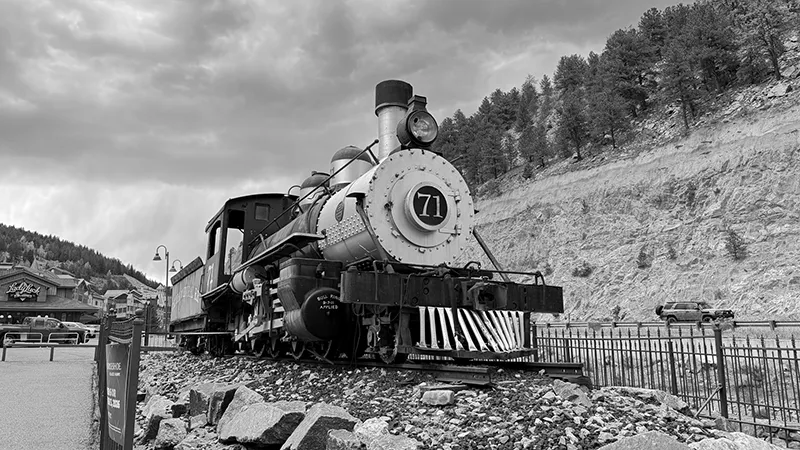
CENTRAL CITY & BLACK HAWK (BW)
Fred’s Gear Picks


Your Explorin’ Journal
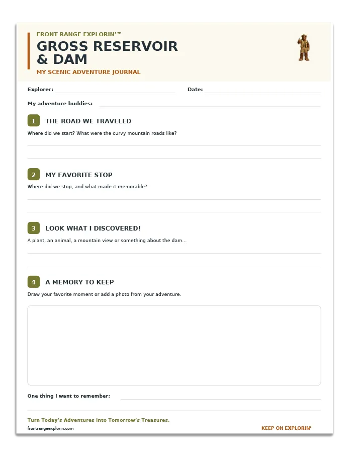
CLICK IMAGE TO ENLARGE
Don’t let today’s adventure become tomorrow’s forgotten memory.
Print your free Gross Reservoir and Dam Adventure Page and record the route you traveled, your favorite stop, what you discovered and the memories you want to keep. From mountain views and open meadows to a coffee break in Gold Hill, every adventure has a story worth saving.
Turn Today’s Adventures Into Tomorrow’s Treasures.
JOIN FRED’S CLUB AND GET YOUR FREE CERTIFICATE!
DON’T MISS THE NEXT ADVENTURE
Join Fred’s Fan Club, and I’ll let you know whenever Zero and I discover somewhere worth exploring and give you all of the scoop!
Get your free Fred’s Fan Club certificate when you join!